$299,900
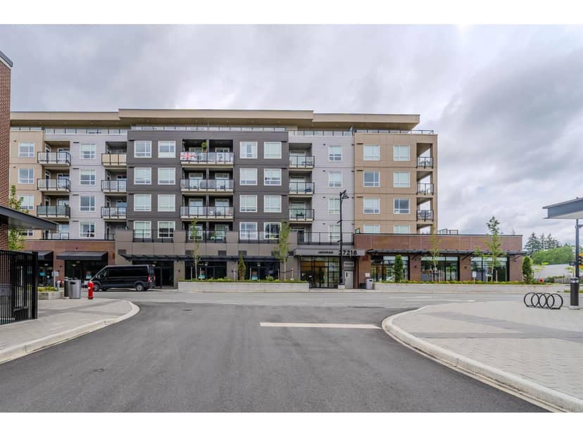
509 27218 Aldergrove Town Centre Drive
Langley112 days on market
listed by eXp Realty of Canada Inc.
MLS® R3144436
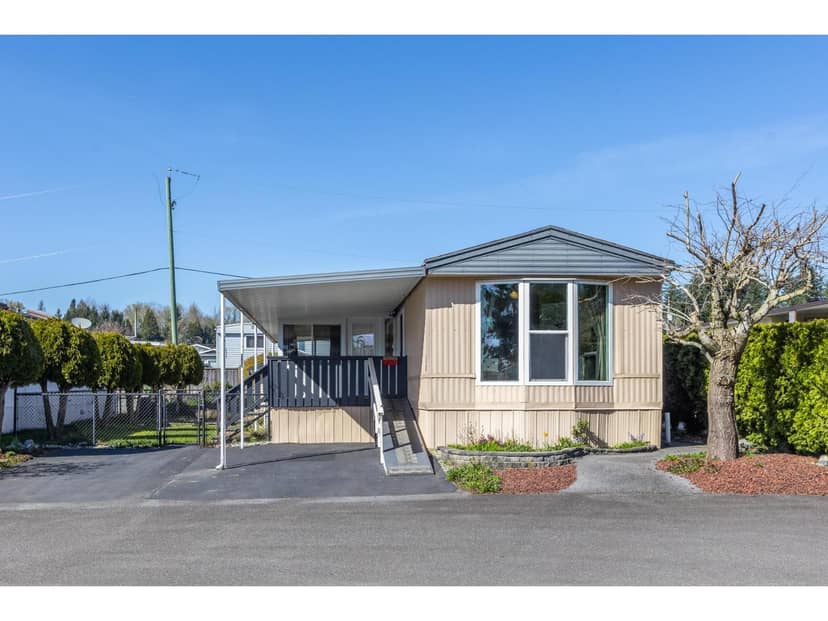
Langley · MLS® R3179209
213
1,101 sq ft · House · Single Family · built 1985 · listed today
listed by Shelly Lederer, RE/MAX Treeland Realty
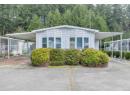
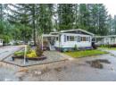
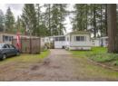
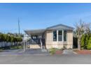
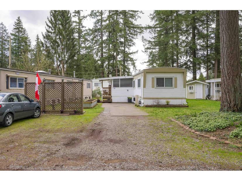
SUPER CLEAN - Tucked away on a cul-de-sac NO-THRU quiet street. This well-maintained 2 L A R G E Bedrooms , 1 large bath offers comfort & privacy. VAULTED ceilings in the LARGE living room & Kitchen, VINYL windows, fresh paint, spotless interior, Silver label, & move-in ready. Enjoy the added living space of the enclosed porch (2011), along with covered parking, a large shed/workshop, and a fully fenced yard-perfect for pets. Other updates include a Gas FP and a refurbished furnace (approx. 2020), hot water tank (2022), and a roof from 2009 with plenty of life remaining. The home also boasts newer appliances, updated lighting, and modern flooring throughout. Ample parking, + space for a smaller RV. Pet-friendly w/no height restriction on dogs. Maintenance Fee JUST $510.00. 55+ Community.
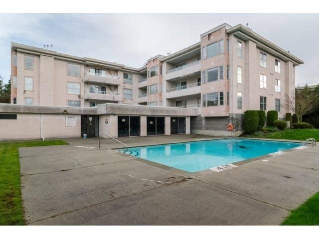
found among the listing photos.
20% down at 4.44% fixed (Ratehub.ca), 25 years; tax from the listing.
Catchment schools, Langley School District 35
5.5 km away · 27330 28 Ave, Aldergrove · 604-856-4167
5.4 km away · 26845 27 Ave, Aldergrove · 604-856-8178
5.7 km away · 26850 29 Ave, Aldergrove · 604-856-2521
From the Langley School District 35's published catchment maps. A catchment gives priority, not a guaranteed seat, and French immersion and choice programs work differently. The district confirms catchment: check with its school locator.
Keep private notes and ratings on homes you're considering. (email only) and they follow you to every device.
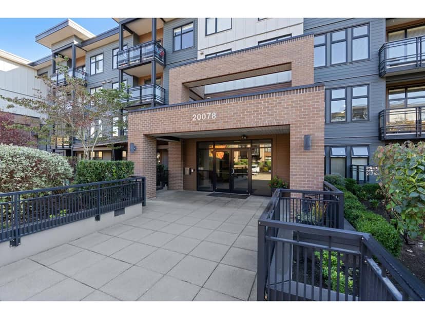
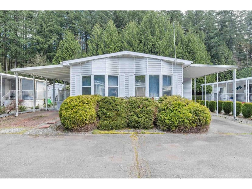
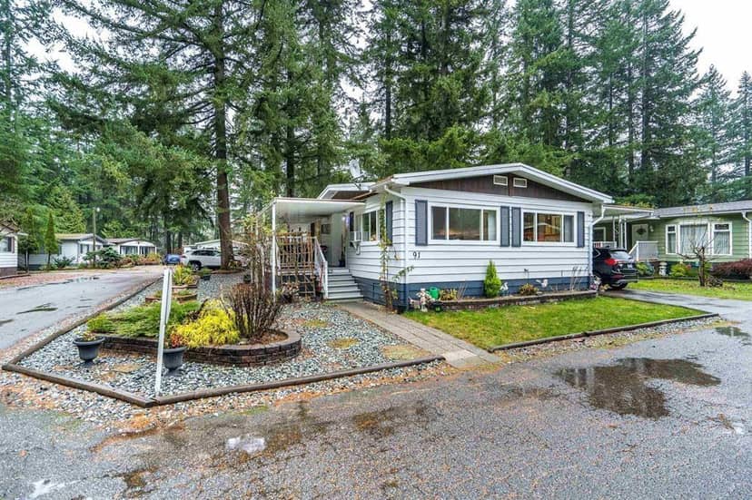
Houses in Langley. Sale prices register 1 to 3 months after a sale closes.
lot outline: 231,628 m² (2,493,221 sq ft). from ParcelMap BC; property lines are approximate, a survey is the legal boundary.
Walkability 7/100 · Car needed for most errands
Nothing everyday within a 10 minute walk.
mihom score from OpenStreetMap places, by straight line distance.
This address is inside the Agricultural Land Reserve. ALR land is set aside for farming; building, subdividing and non-farm uses follow Agricultural Land Commission rules.
From public government maps, matched to the listing's map pin. Maps can be out of date or miss a lot line; confirm with the municipality.