$549,900
675 Windsor Avenue
North Kamloops, Kamloops2 days on market
listed by eXp Realty (Kamloops)
MLS® 10404407
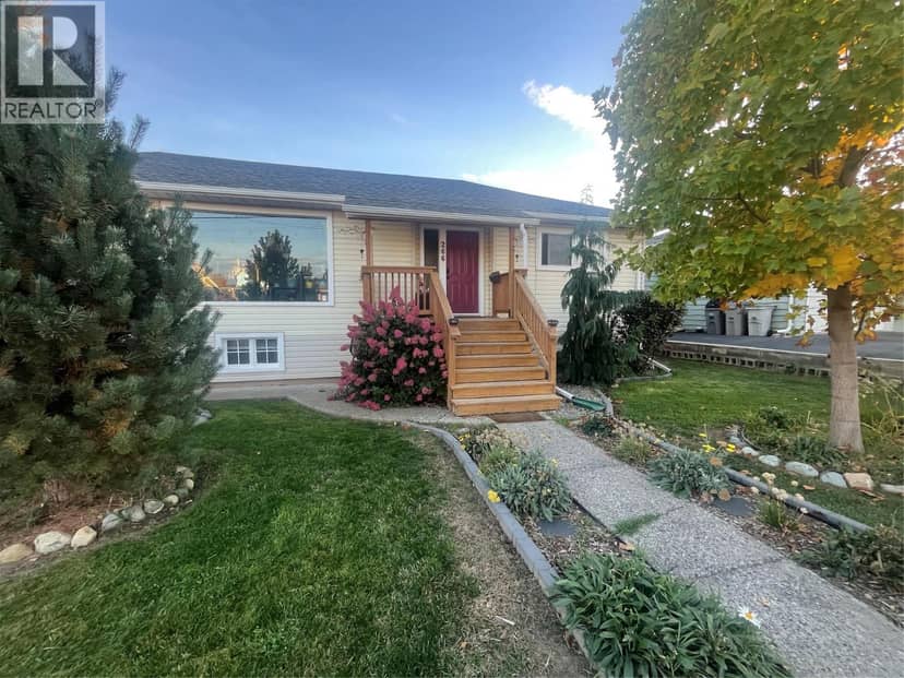
North Kamloops, Kamloops · MLS® 10403355
321
1,663 sq ft · 0.17 acres lot · House · Single Family · built 1956 · 12 days on market
listed by Doren Quinton, Century 21 Assurance Realty Ltd
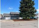
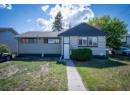
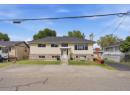
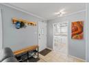
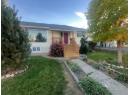
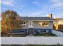
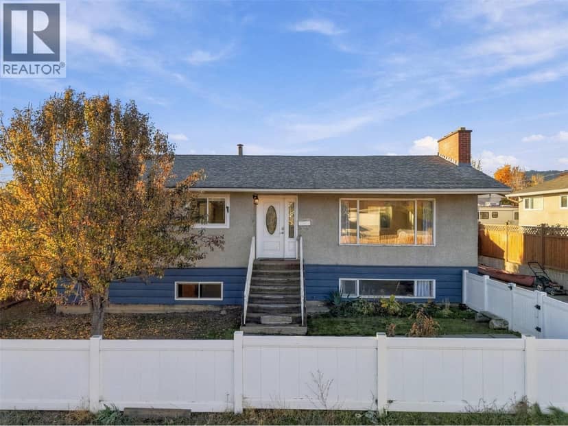
Where to start on this beautiful family home. Let's start with the beautiful outdoor oasis which has been lovingly improved to now include 84 different species of plants. Great street appeal from the front and drive through access from the front and the rear of the property. A covered deck, 1 car garage, outdoor pergola, privacy fence, fruit trees and many gardens make this property an absolute delight. Inside you will find many many upgrades from a professional kitchen with large pantry to new flooring, renovated bathrooms and then a large undeveloped canvas in the basement where the new owner could add a kitchen and suite (entry through the garage) or a 4th bedroom or both. Not to mention that the basement has 9 foot ceilings. Close to River's Trail and shopping and recreation, this centrally located home is sure to impress any who enter through its doors.
20% down at 4.34% fixed (Ratehub.ca), 25 years; tax from the listing.
Catchment schools, Kamloops Thompson School District 73
100 m away · 315 Chestnut Ave, Kamloops · 250-376-7217
1.4 km away · 730 12th St, Kamloops · 250-376-1272
From the Kamloops Thompson School District 73's published catchment maps. A catchment gives priority, not a guaranteed seat, and French immersion and choice programs work differently. The district confirms catchment: check with its school locator.
Keep private notes and ratings on homes you're considering. (email only) and they follow you to every device.
| year | assessed | est. tax |
|---|---|---|
| 2026 | $614,000 | $4,208 |
The listing shows $4,208 a year in property tax.
Estimate: the BC Assessment value times Kamloops's residential tax rate for that year (Province of BC, local government statistics). Leaves out the home owner grant, parcel taxes and utility charges; the city's tax notice is the real figure.
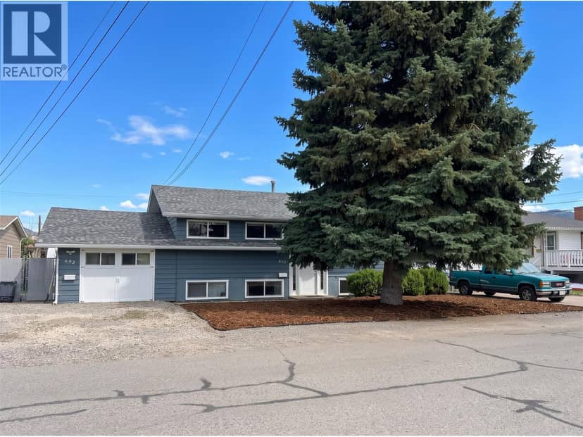
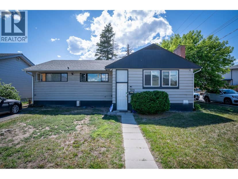
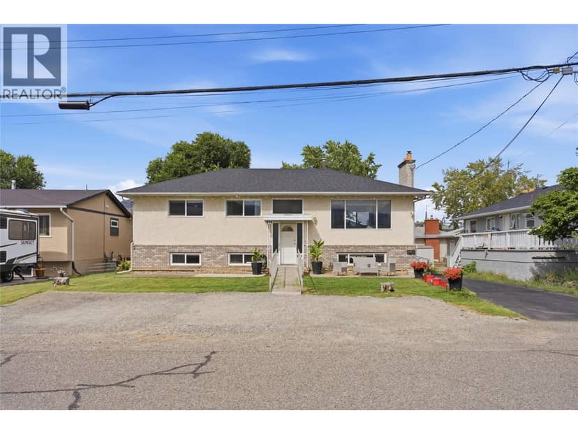
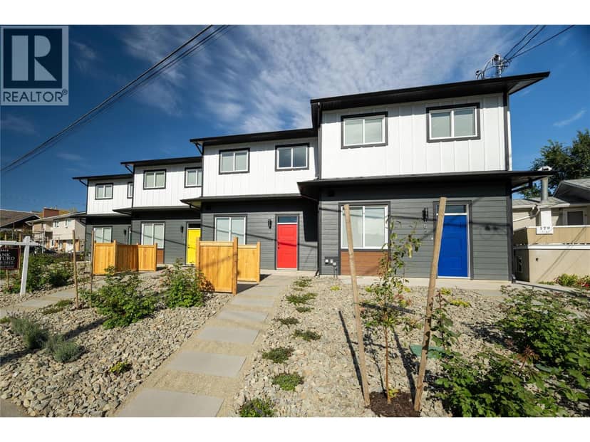
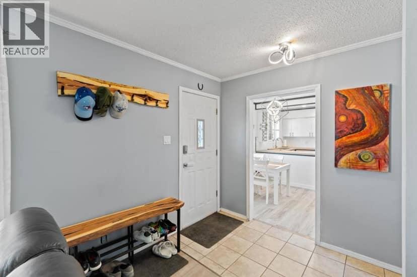
Houses in Kamloops. Sale prices register 1 to 3 months after a sale closes.
This address is within a designated floodplain on the provincial floodplain maps (Thompson River). Local rules can set things like minimum floor heights; the municipality can confirm what applies.
The BC Wildfire Service rates Kamloops's wildland urban interface as risk class 1 of 5 (the highest class). 2 wildfires of 10 hectares or more burned within 5 km since 2006: 2018 (25 ha), 2008 (16 ha). Some insurers price for wildfire, and FireSmart BC has a free home assessment guide.
Source: BC Wildfire Service, WUI risk class and fire perimeters
From public government maps, matched to the listing's map pin. Maps can be out of date or miss a lot line; confirm with the municipality.
lot outline: 671 m² (7,223 sq ft) · PID 009-998-853. from ParcelMap BC; property lines are approximate, a survey is the legal boundary.
Walkability 88/100 · Very walkable: most errands on foot
Within a 10 minute walk: 1 grocery store, 22 places to eat or drink, 2 cafes, 4 parks and playgrounds, 4 schools, 1 pharmacy, 29 transit stops.
mihom score from OpenStreetMap places, by straight line distance.