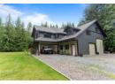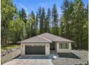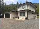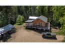
$869,500
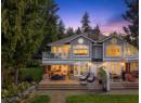
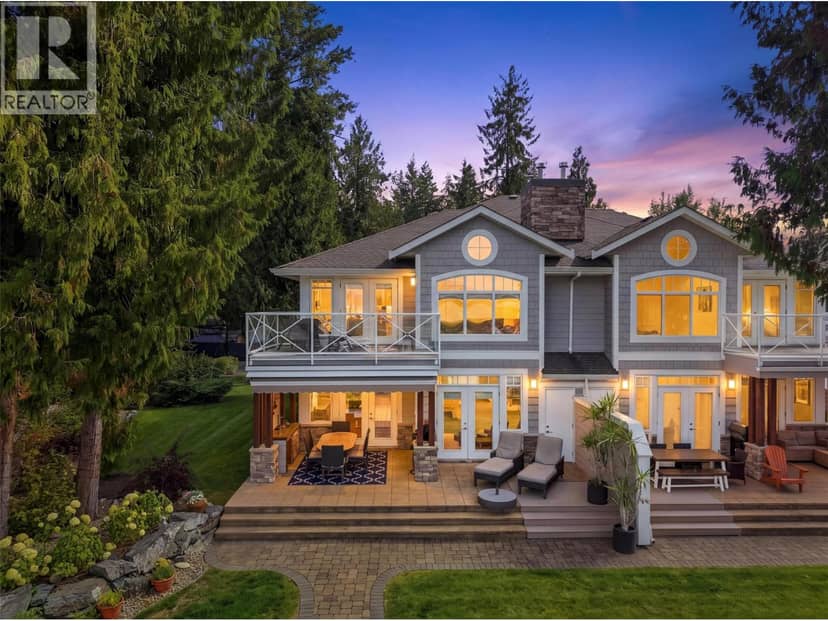
3950 Express Point Road Unit# 8
North Shuswap, Scotch Creek41 days on market
listed by Riley & Associates Realty Ltd.
MLS® 10400678

North Shuswap, Lee Creek · MLS® 10402842
0.73 acres lot · Land · Vacant Land · 18 days on market
listed by Paul Demenok, REMAX Shuswap
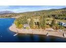
This might be the best building lot left on Shuswap Lake. Some properties come with a view.; this one also comes with a story. Held by the Simpson family since 1948, 2836 Simpson Road is one of the last remaining lots in this unique development. It's a gorgeous waterfront lot —a chance to begin your own chapter on Shuswap Lake. This south-facing, 0.72-acre waterfront parcel in Lee Creek offers approximately 123 feet of shoreline, expansive lake views and space to create a year-round home or cherished family retreat. Picture morning coffee overlooking the water, afternoons exploring the lake and summer evenings with family and friends. Set on a quiet cul-de-sac of just 17 homes, the mostly level property slopes gently toward the shoreline, offering potential for a variety of custom home builds, subject to approvals. Existing improvements include a shoreline rock wall, barn, a buoy, partial lawn landscaping, pear and cherry trees, and a walnut tree. A previously prepared house design is available to help inspire your plans. Approximately eight to ten minutes from the Trans-Canada Highway in Lee Creek, with Scotch Creek’s shops and services about seven kilometres away, this setting brings together waterfront living and everyday convenience. The family’s history here spans generations. What could yours look like? Call today for more information and to arrange a visit. Your next chapter could start at beautiful Shuswap Lake.
20% down at 4.34% fixed (Ratehub.ca), 25 years.
Keep private notes and ratings on homes you're considering. (email only) and they follow you to every device.


Homes in Lee Creek. Sale prices register 1 to 3 months after a sale closes.
lot outline: 2,939 m² (31,635 sq ft) · PID 026-925-320. from ParcelMap BC; property lines are approximate, a survey is the legal boundary.
Walkability 0/100 · Car needed for most errands
Nothing everyday within a 10 minute walk.
mihom score from OpenStreetMap places, by straight line distance.
The BC Wildfire Service rates Sorrento's wildland urban interface as risk class 1 of 5 (the highest class). One wildfire of 10 hectares or more burned within 5 km since 2006: 2023 (45.7k ha). Some insurers price for wildfire, and FireSmart BC has a free home assessment guide.
Source: BC Wildfire Service, WUI risk class and fire perimeters
From public government maps, matched to the listing's map pin. Maps can be out of date or miss a lot line; confirm with the municipality.