$180,000
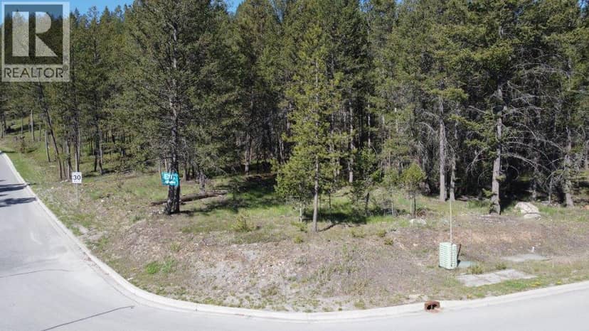
1600 Wycliffe Park Lot# 5
CRANL Cranbrook Periphery, Cranbrook164 days on market
listed by Colliers
MLS® 10388019
CRANL Cranbrook Periphery, Cranbrook · MLS® 10366847
0.46 acres lot · Land · Vacant Land · 368 days on market
listed by Adam Stenersen, Century 21 Purcell Realty Ltd
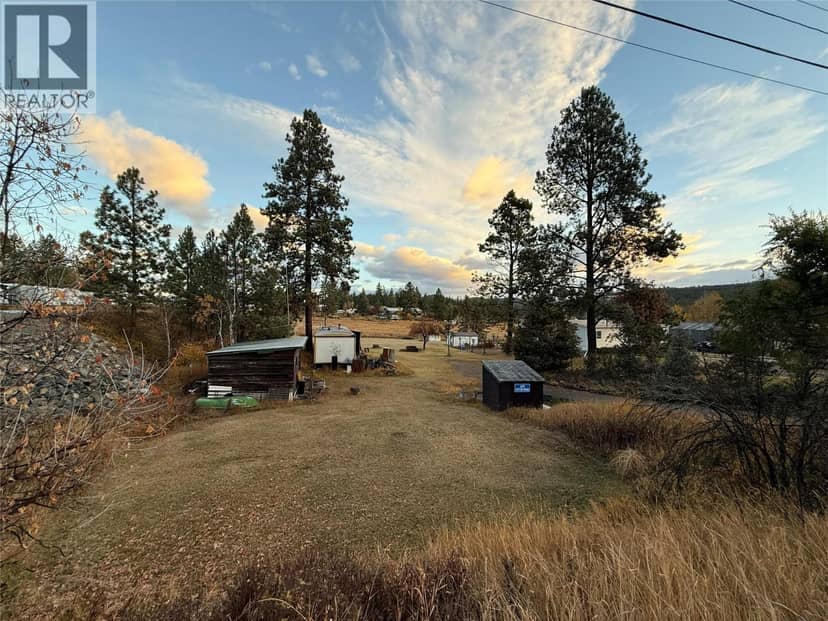
Discover the perfect opportunity to build your dream home on this 0.456-acre lot at 3470 Victor Road, just minutes from downtown Cranbrook. Enjoy the convenience of being close to city amenities while living in a peaceful rural setting outside city limits. This property is already equipped with a well, septic system, and paved driveway—saving you time and expense in your build process. Zoned RR-60 and not within the ALR, this versatile lot offers flexibility for your vision. Located within the Rockyview Official Community Plan area of the RDEK, this property combines country charm with practical convenience in one great package.
20% down at 4.44% fixed (Ratehub.ca), 25 years; tax from the listing.
Keep private notes and ratings on homes you're considering. (email only) and they follow you to every device.
| year | assessed | est. tax |
|---|---|---|
| 2026 | $155,000 | $1,275 |
The listing shows $702 a year in property tax.
Estimate: the BC Assessment value times Cranbrook's residential tax rate for that year (Province of BC, local government statistics). Leaves out the home owner grant, parcel taxes and utility charges; the city's tax notice is the real figure.
Homes in Cranbrook. Sale prices register 1 to 3 months after a sale closes.
lot outline: 1,868 m² (20,107 sq ft) · PID 014-227-657. from ParcelMap BC; property lines are approximate, a survey is the legal boundary.
Walkability 4/100 · Car needed for most errands
Nothing everyday within a 10 minute walk.
mihom score from OpenStreetMap places, by straight line distance.
The BC Wildfire Service rates Kimberley's wildland urban interface as risk class 1 of 5 (the highest class). One wildfire of 10 hectares or more burned within 5 km since 2006: 2009 (19 ha). Some insurers price for wildfire, and FireSmart BC has a free home assessment guide.
Source: BC Wildfire Service, WUI risk class and fire perimeters
From public government maps, matched to the listing's map pin. Maps can be out of date or miss a lot line; confirm with the municipality.