$1,349,000
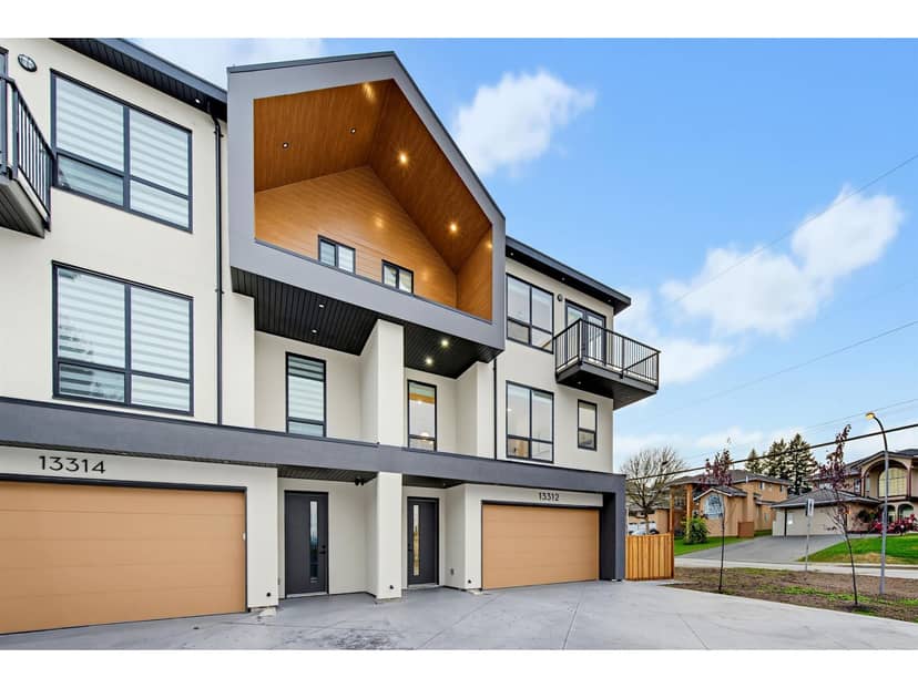
13314 62 Avenue
Surrey2 days on market
listed by Planet Group Realty Inc.
MLS® R3178343
Surrey · MLS® R3179367
334
2,605 sq ft · 5,813 sq ft lot · House · Single Family · built 2010 · listed today
listed by Sandra Miller, The Agency White Rock
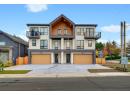
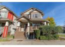
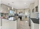
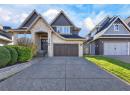
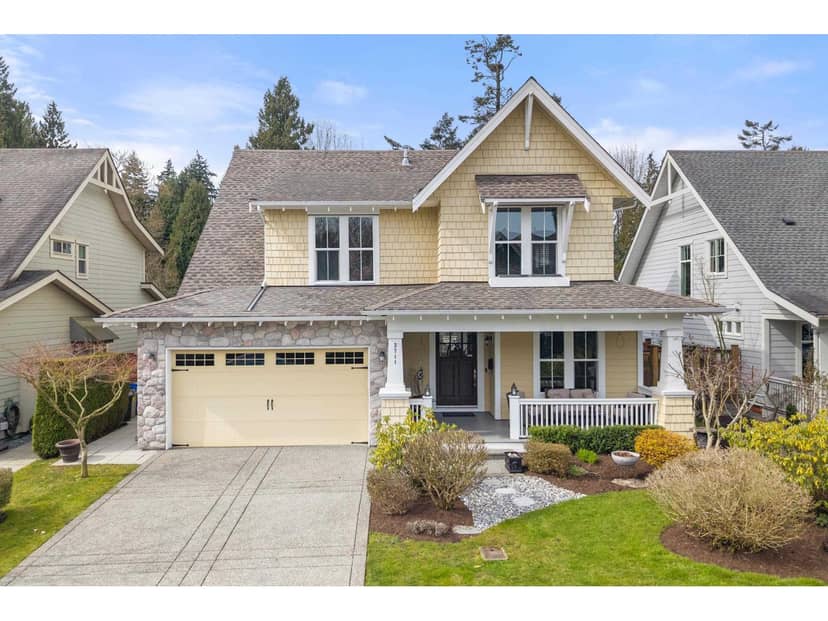
Wake up to eagles soaring over the Nicomekl River. This executive Southport home delivers nature at your doorstep. Paddle board from your backyard, explore endless walking trails, or tee off at the nearby Nico Wynd golf course, all within one of the area's most connected communities. Thoughtfully designed across two levels, the home offers three bedrooms (with potential for a fourth), a west-facing backyard oasis backing onto lush greenspace, and those sought-after evening sunsets you'll never tire of. Meticulously maintained and move-in ready, with quick access to Highway 99 for effortless commuting. This is the rare home where quality build, natural beauty, and true community all come together. Come see why Southport residents never want to leave.
found among the listing photos.
20% down at 4.44% fixed (Ratehub.ca), 25 years; tax from the listing; strata fee from the listing.
Catchment schools, Surrey School District 36
2.5 km away · 2575 137 St, Surrey · 604-535-6708
3.0 km away · 13484 24 Ave, Surrey · 604-538-6678
From the Surrey School District 36's published catchment maps. A catchment gives priority, not a guaranteed seat, and French immersion and choice programs work differently. The district confirms catchment: check with its school locator.
Keep private notes and ratings on homes you're considering. (email only) and they follow you to every device.

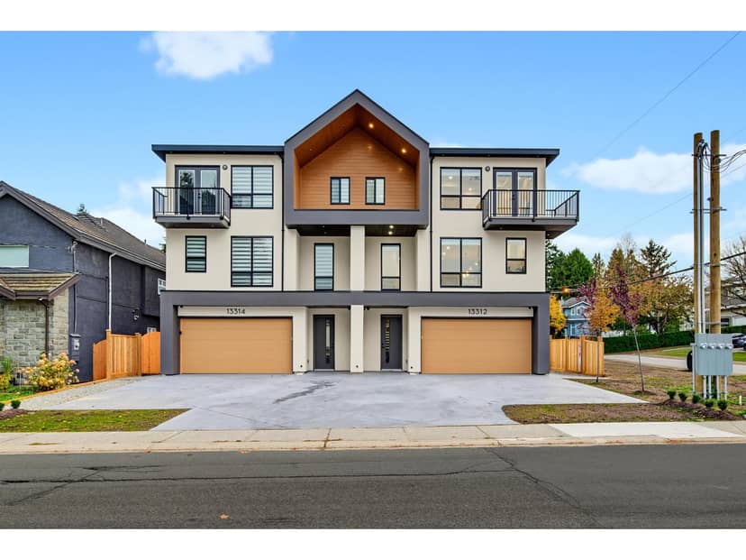
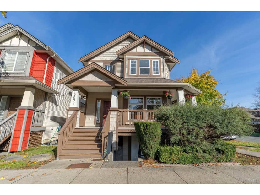
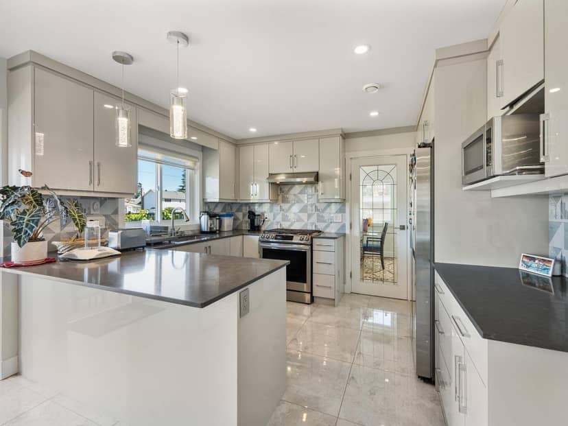
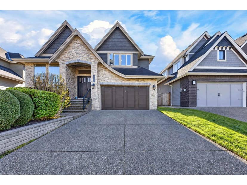
Houses in Surrey. Sale prices register 1 to 3 months after a sale closes.
lot outline: 540 m² (5,813 sq ft) · PID 026-968-215. from ParcelMap BC; property lines are approximate, a survey is the legal boundary.
Walkability 33/100 · Mostly by car
Within a 10 minute walk: 5 parks and playgrounds, 1 school, 11 transit stops.
mihom score from OpenStreetMap places, by straight line distance.
This address is within a designated floodplain on the provincial floodplain maps (Serpentine & Nicomekl Rivers). Local rules can set things like minimum floor heights; the municipality can confirm what applies.
From public government maps, matched to the listing's map pin. Maps can be out of date or miss a lot line; confirm with the municipality.