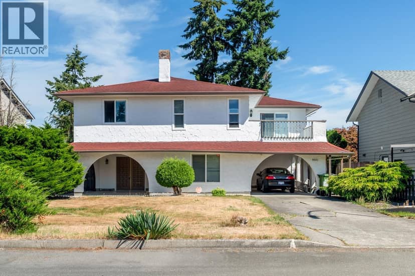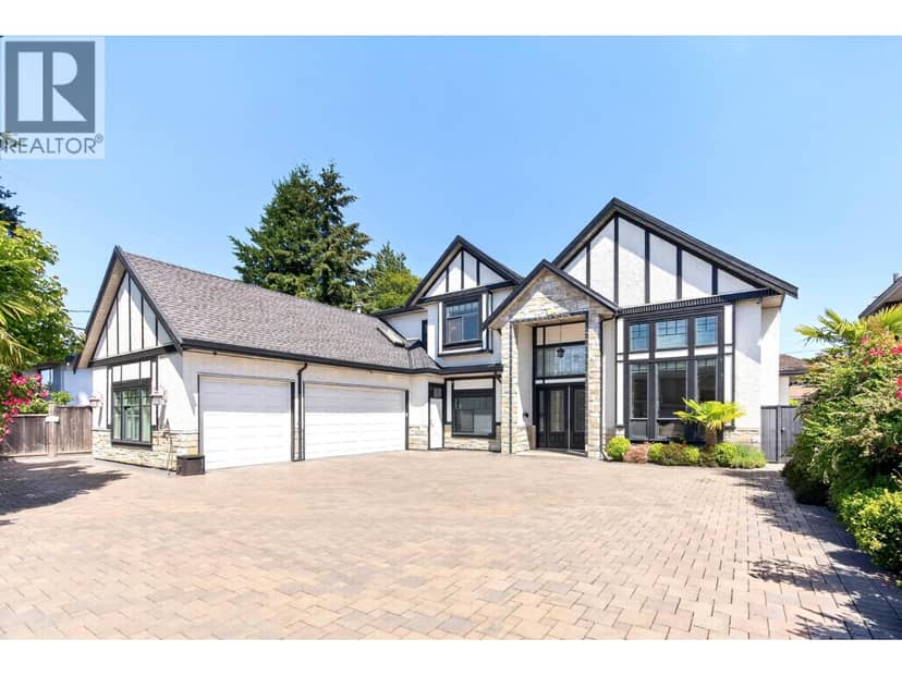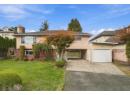
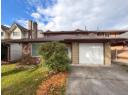
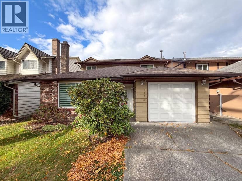
$1,690,000
5179 Topaz Place
Richmond15 days on market
listed by Royal Pacific Realty Corp.
MLS® R3175812
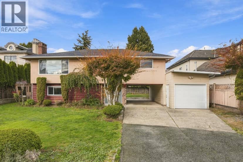
Richmond · MLS® R3179707
321
2,068 sq ft · 7,920 sq ft lot · House · Single Family · built 1960 · 1 day on market
listed by Maggie Hon, Royal Pacific Realty Corp.
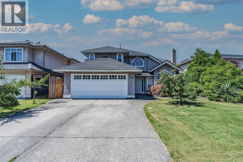
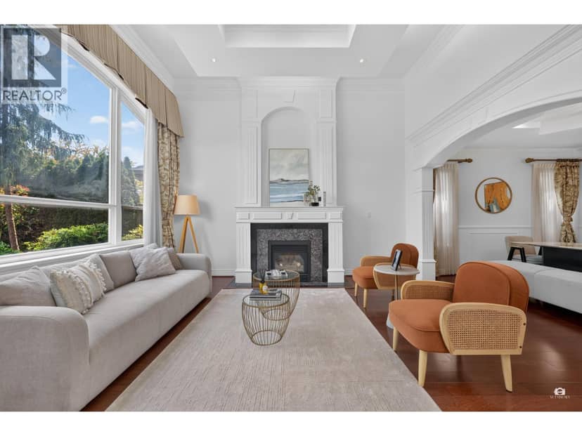
Welcome to 5511 Colbeck Road! Situated on a generous 66 ft wide frontage South, North 7,920 sq. ft. lot. This solidly built 2,067 sq. ft. home offers 4 bedrooms and 2 full bathrooms. Featuring great bones and numerous significant renovations and updates over the years, this home provides a wonderful foundation for your creative vision. Enjoy a spacious, private backyard, beautifully landscaped grounds, and a convenient family-friendly location close to parks, shopping, and transit. Whether you move right in or add your personal touches, the possibilities are endless to make this house truly your own. School catchments: McKay Elementary and Burnett Secondary. The home is vacant and ready for a new homeowner!
found among the listing photos.
20% down at 4.44% fixed (Ratehub.ca), 25 years; tax from the listing.
Catchment schools, Richmond School District 38
800 m away · 7360 Lombard Rd, Richmond · 604-668-6470
1.3 km away · 5011 Granville Ave, Richmond · 604-668-6478
From the Richmond School District 38's published catchment maps. A catchment gives priority, not a guaranteed seat, and French immersion and choice programs work differently. The district confirms catchment: check with its school locator.
Keep private notes and ratings on homes you're considering. (email only) and they follow you to every device.
| year | assessed | est. tax |
|---|---|---|
| 2026 | $1,755,700 | $6,212 |
The listing shows $6,573 a year in property tax.
Estimate: the BC Assessment value times Richmond's residential tax rate for that year (Province of BC, local government statistics). Leaves out the home owner grant, parcel taxes and utility charges; the city's tax notice is the real figure.
Houses in Richmond. Sale prices register 1 to 3 months after a sale closes.
lot outline: 736 m² (7,922 sq ft) · PID 002-570-319. from ParcelMap BC; property lines are approximate, a survey is the legal boundary.
Walkability 87/100 · Very walkable: most errands on foot
Within a 10 minute walk: 1 grocery store, 10 places to eat or drink, 3 cafes, 3 parks and playgrounds, 1 school, 1 pharmacy, 14 transit stops.
mihom score from OpenStreetMap places, by straight line distance.
The BC Wildfire Service rates Vancouver's wildland urban interface as risk class 5 of 5 (lowest; 1 is the highest). One wildfire of 10 hectares or more burned within 5 km since 2006: 2018 (13 ha). Some insurers price for wildfire, and FireSmart BC has a free home assessment guide.
Source: BC Wildfire Service, WUI risk class and fire perimeters
From public government maps, matched to the listing's map pin. Maps can be out of date or miss a lot line; confirm with the municipality.