
House
$3,780,000
33% less per sq ft7901 117 Street
Deltalisted today
listed by Real Broker
MLS® R3178620

Delta · MLS® R3177207
7.94 acres lot · Land · Vacant Land · 4 days on market
listed by Bryan van Hoepen, Real Broker BC Ltd
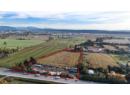
Excellent opportunity to acquire 7.94 acres in a highly desirable East Delta location! This expansive property offers approximately 542 feet of road frontage and convenient access to major transportation routes. Zoned I1 Low Impact Industrial, the property presents potential for a variety of permitted uses, subject to municipal regulations and approvals. The site features a large, relatively level parcel with an existing gravel yard area currently utilized for truck and equipment parking, along with additional open land. Municipal water is available, with electricity and natural gas services also available. A rare opportunity to secure a substantial parcel in Ladner's sought-after agricultural and industrial corridor.
20% down at 4.34% fixed (Ratehub.ca), 25 years; tax from the listing.
Catchment schools, Delta School District 37
4.3 km away · 4625 62 St, Delta · 604-946-0218
5.1 km away · 4615 51 St, Delta · 604-946-4194
From the Delta School District 37's published catchment maps. A catchment gives priority, not a guaranteed seat, and French immersion and choice programs work differently. The district confirms catchment: check with its school locator.
Keep private notes and ratings on homes you're considering. (email only) and they follow you to every device.
| year | assessed | est. tax |
|---|---|---|
| 2026 | $3,335,900 | $13,518 |
The listing shows $10,957 a year in property tax.
Estimate: the BC Assessment value times Delta's residential tax rate for that year (Province of BC, local government statistics). Leaves out the home owner grant, parcel taxes and utility charges; the city's tax notice is the real figure.
Homes in Delta. Sale prices register 1 to 3 months after a sale closes.

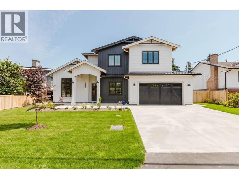


lot outline: 32,807 m² (353,131 sq ft) · PID 009-207-074. from ParcelMap BC; property lines are approximate, a survey is the legal boundary.
Walkability 11/100 · Car needed for most errands
Within a 10 minute walk: 2 transit stops.
mihom score from OpenStreetMap places, by straight line distance.
This address is inside the Agricultural Land Reserve. ALR land is set aside for farming; building, subdividing and non-farm uses follow Agricultural Land Commission rules.
The BC Wildfire Service rates Vancouver's wildland urban interface as risk class 5 of 5 (lowest; 1 is the highest). One wildfire of 10 hectares or more burned within 5 km since 2006: 2016 (78 ha). Some insurers price for wildfire, and FireSmart BC has a free home assessment guide.
Source: BC Wildfire Service, WUI risk class and fire perimeters
From public government maps, matched to the listing's map pin. Maps can be out of date or miss a lot line; confirm with the municipality.