$2,288,000
560 Wilderness Pl
East Sooke, Sooke27 days on market
listed by Royal LePage Coast Capital - Oak Bay
MLS® 1051412
East Sooke, Sooke · MLS® 1048795
37 acres lot · Land · Vacant Land · 48 days on market
listed by David Stevens, Royal LePage Coast Capital - Chatterton
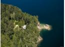
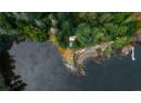
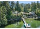
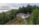
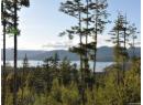
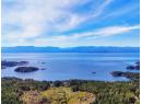
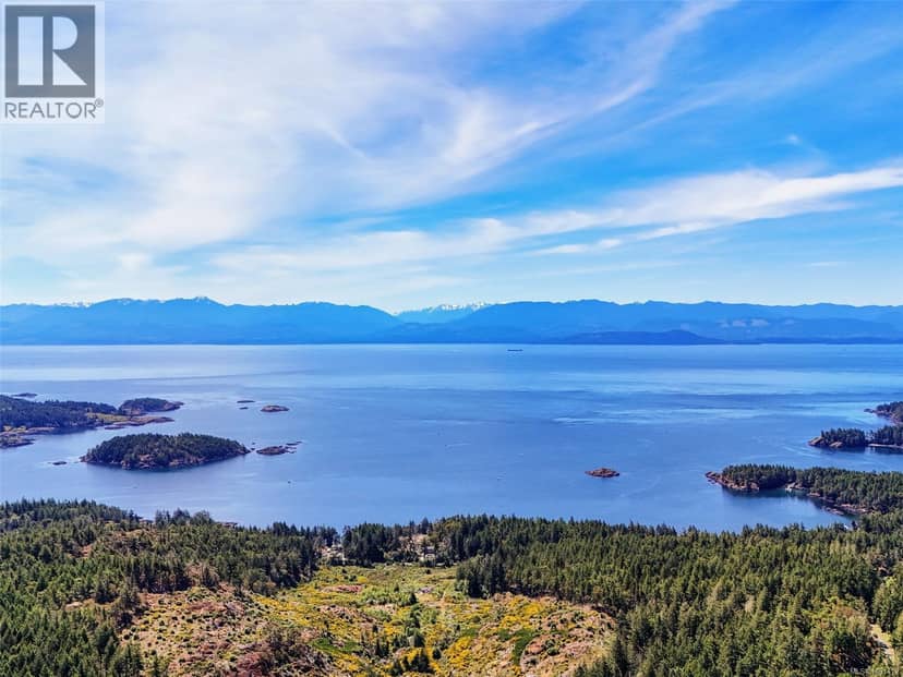
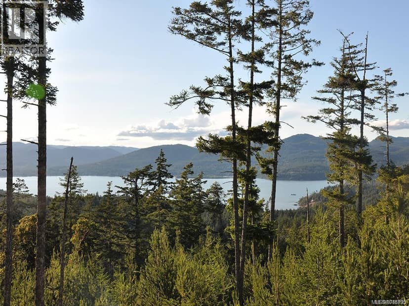
An outstanding opportunity to acquire 37.2 acres on Mt. Matheson, offering spectacular views of the Sooke Basin and surrounding mountains from numerous potential building sites, with additional panoramic views across the Strait of Juan de Fuca from the upper portion of the property. Preliminary planning/subdivision concepts are available, illustrating the many possibilities this exceptional property may offer. Whether your vision is to create a private West Coast estate, pursue a multi-lot subdivision, or explore a long-term investment opportunity, there is tremendous flexibility and potential here. The property has been surveyed and flagged, with hydro, telephone and cable services are available at the property line. Ideally located just approximately 30 minutes from Victoria, this is a rare opportunity to create a private estate or explore a significant development opportunity in a spectacular West Coast setting. An opportunity exists to also acquire neighbouring lands.
20% down at 4.44% fixed (Ratehub.ca), 25 years; tax from the listing.
Catchment schools, Sooke School District 62
5.7 km away · PO Box 820 Stn Main, Sooke · 250-642-5261
7.5 km away · PO Box 100, Sooke · 250-642-5881
6.2 km away · PO Box 1010, Sooke · 250-642-5211
From the Sooke School District 62's published catchment maps. A catchment gives priority, not a guaranteed seat, and French immersion and choice programs work differently. The district confirms catchment: check with its school locator.
Keep private notes and ratings on homes you're considering. (email only) and they follow you to every device.
Homes in Sooke. Sale prices register 1 to 3 months after a sale closes.

The BC Wildfire Service rates Langford's wildland urban interface as risk class 1 of 5 (the highest class). Some insurers price for wildfire, and FireSmart BC has a free home assessment guide.
Source: BC Wildfire Service, WUI risk class and fire perimeters
From public government maps, matched to the listing's map pin. Maps can be out of date or miss a lot line; confirm with the municipality.
lot outline: 151,516 m² (1,630,903 sq ft) · PID 028-605-748. from ParcelMap BC; property lines are approximate, a survey is the legal boundary.
Walkability 1/100 · Car needed for most errands
Within a 10 minute walk: 2 transit stops.
mihom score from OpenStreetMap places, by straight line distance.