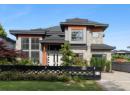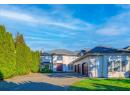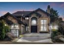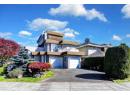
$3,380,000
11600 Kingfisher Drive
Richmondlisted today
listed by Nu Stream Realty Inc.
MLS® R3177553
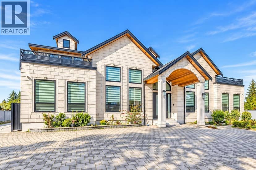
Richmond · MLS® R3178071
6710
5,134 sq ft · 20,286 sq ft lot · House · Single Family · built 2020 · 4 days on market
listed by Rimpy Hothi, Sutton Group-West Coast Realty
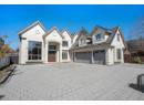
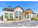
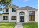
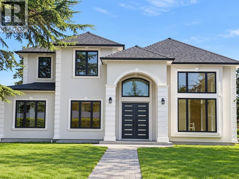
Discover an exceptional opportunity on nearly half an acre with a desirable 93' x 218' rectangular AG1-zoned lot. This spacious 2-storey residence offers 7 bedrooms and 7 bathrooms, ideal for large or extended families. Features include elegant tile flooring, a well-appointed kitchen with marble countertops and quality appliances, a dedicated home theatre, and air conditioning throughout. Enjoy beautiful mountain views from the balcony, a double garage, and generous additional parking for multiple vehicles. Conveniently located near golf courses, Highway 99, Ironwood Shopping Centre, schools, parks, and everyday amenities. A rare property offering space, comfort, and excellent potential in a sought-after Richmond location.
found among the listing photos.
20% down at 4.34% fixed (Ratehub.ca), 25 years; tax from the listing.
Catchment schools, Richmond School District 38
2.0 km away · 10300 Seacote Rd, Richmond · 604-668-6296
3.2 km away · 9500 No. 4 Rd, Richmond · 604-668-6575
From the Richmond School District 38's published catchment maps. A catchment gives priority, not a guaranteed seat, and French immersion and choice programs work differently. The district confirms catchment: check with its school locator.
Keep private notes and ratings on homes you're considering. (email only) and they follow you to every device.
| year | assessed | est. tax |
|---|---|---|
| 2026 | $2,875,000 | $10,173 |
The listing shows $9,354 a year in property tax.
Estimate: the BC Assessment value times Richmond's residential tax rate for that year (Province of BC, local government statistics). Leaves out the home owner grant, parcel taxes and utility charges; the city's tax notice is the real figure.
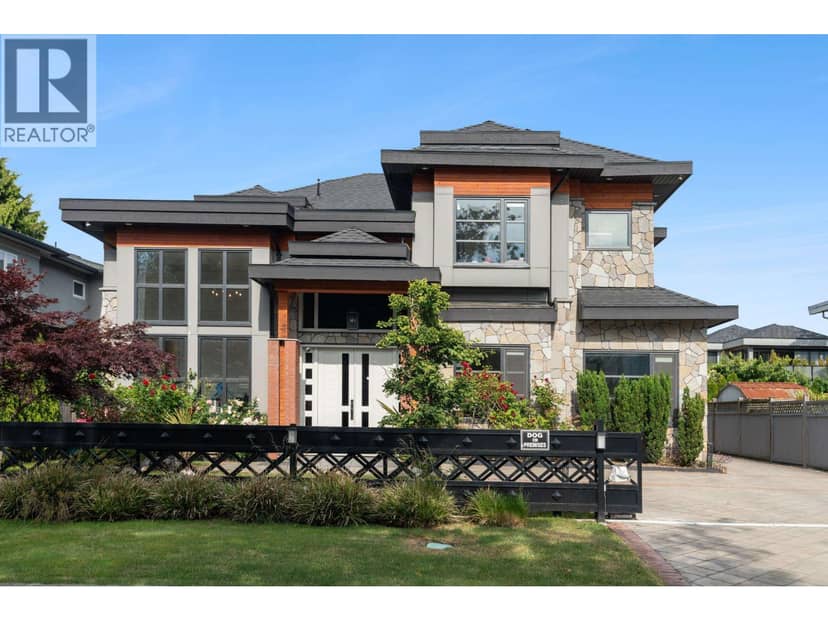
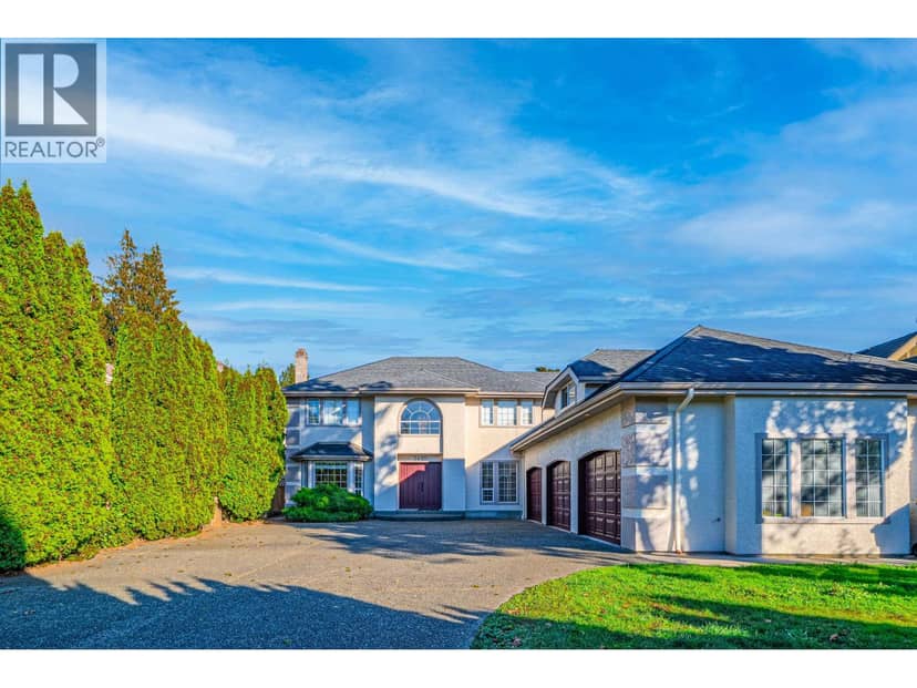
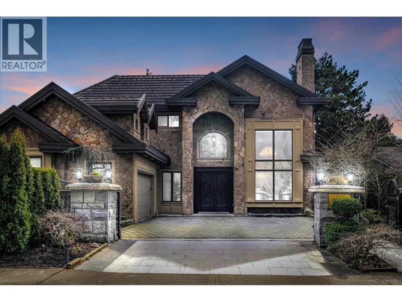
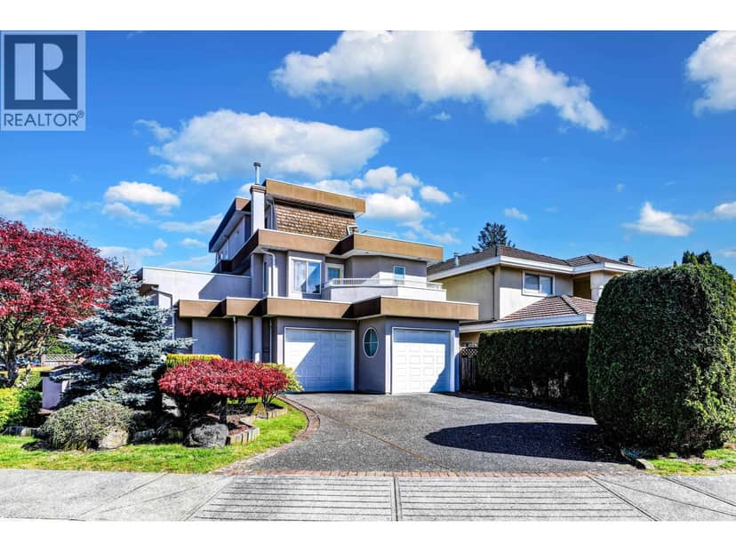
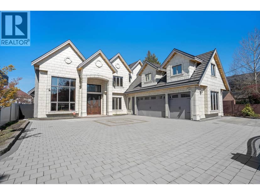
Houses in Richmond. Sale prices register 1 to 3 months after a sale closes.
lot outline: 1,885 m² (20,290 sq ft) · PID 012-192-406. from ParcelMap BC; property lines are approximate, a survey is the legal boundary.
Walkability 26/100 · Mostly by car
Within a 10 minute walk: 4 places to eat or drink, 3 transit stops.
mihom score from OpenStreetMap places, by straight line distance.
This address is inside the Agricultural Land Reserve. ALR land is set aside for farming; building, subdividing and non-farm uses follow Agricultural Land Commission rules.
The BC Wildfire Service rates Vancouver's wildland urban interface as risk class 5 of 5 (lowest; 1 is the highest). 2 wildfires of 10 hectares or more burned within 5 km since 2006: 2018 (13 ha), 2016 (78 ha). Some insurers price for wildfire, and FireSmart BC has a free home assessment guide.
Source: BC Wildfire Service, WUI risk class and fire perimeters
From public government maps, matched to the listing's map pin. Maps can be out of date or miss a lot line; confirm with the municipality.