$509,000
Lot A Hopwood Pl
Triangle, Colwood421 days on market
listed by Maxxam Realty Ltd.
MLS® 1012755
Triangle, Colwood · MLS® 1050992
9,830 sq ft lot · Land · Vacant Land · 30 days on market
listed by Dallas King, RE/MAX Generation
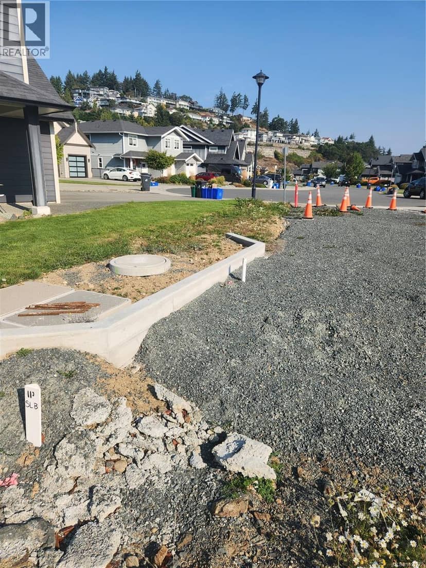
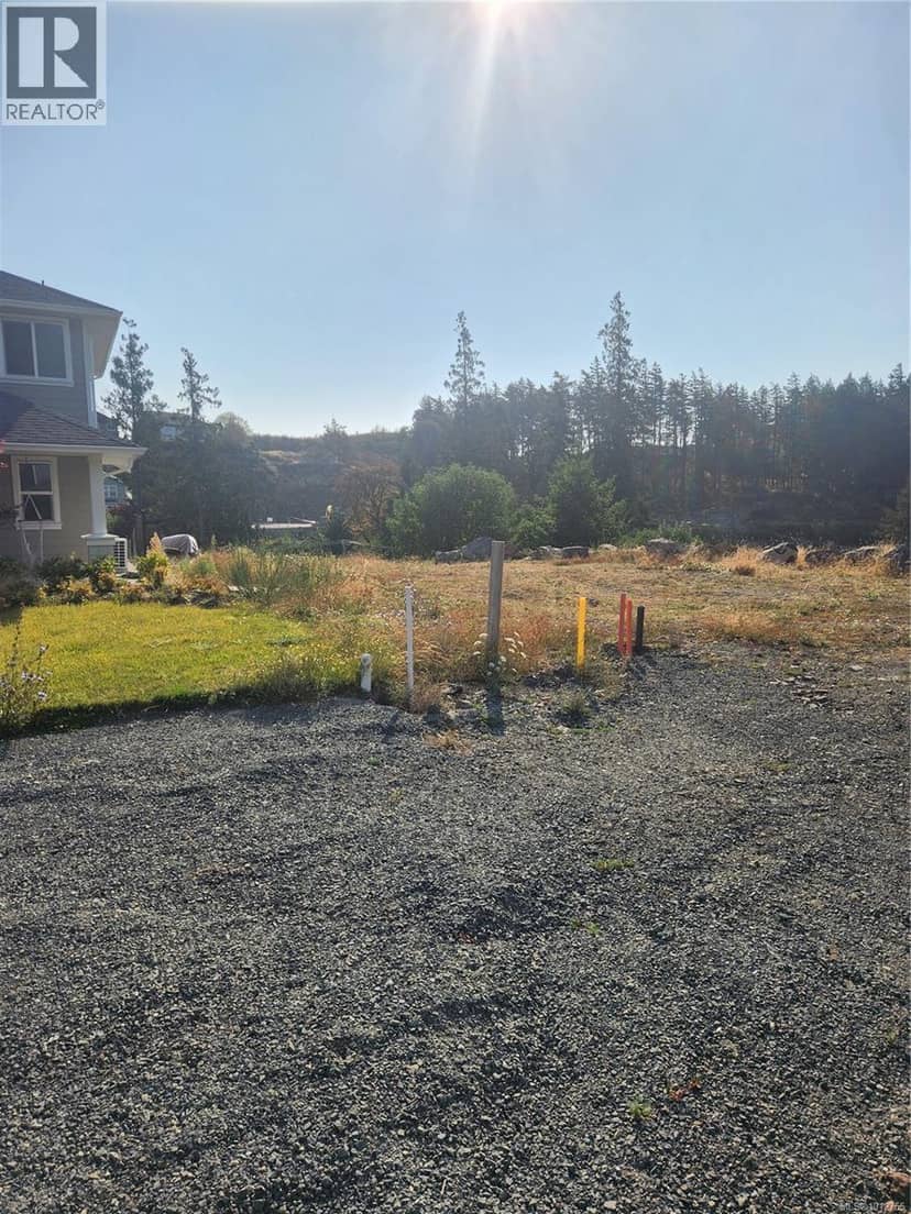
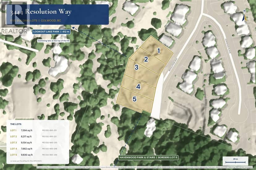
Lot 4, Resolution Way, Colwood. Part of a brand new five lot subdivision. Lot 4 offers 7,662 sq ft of fully serviced freehold land at the end of an established street. Havenwood Park is about 20 m away, and its stairs climb to Lookout Lake Park and its swimming beach. Zoning allows up to four units, and a duplex, triplex or fourplex built to zoning can be strata titled. Build four strata homes, a duplex with suites, or a family home with a suite. Services are in and the lot is ready for your builder. Wishart Elementary, Royal Bay Secondary, The Commons at Royal Bay and Westshore Town Centre are each about 5 minutes away, with Royal Bay Beach at 7 and downtown Victoria about 25. GST applicable.
20% down at 4.44% fixed (Ratehub.ca), 25 years.
Catchment schools, Sooke School District 62
1.2 km away · 3310 Wishart Rd, Victoria · 250-478-9528
1.7 km away · 3341 Painter Rd, Victoria · 250-478-5548
From the Sooke School District 62's published catchment maps. A catchment gives priority, not a guaranteed seat, and French immersion and choice programs work differently. The district confirms catchment: check with its school locator.
Keep private notes and ratings on homes you're considering. (email only) and they follow you to every device.
| year | assessed | est. tax |
|---|---|---|
| 2026 | $1,604,000 | $7,582 |
Estimate: the BC Assessment value times Colwood's residential tax rate for that year (Province of BC, local government statistics). Leaves out the home owner grant, parcel taxes and utility charges; the city's tax notice is the real figure.
Homes in Colwood. Sale prices register 1 to 3 months after a sale closes.
The BC Wildfire Service rates Langford's wildland urban interface as risk class 1 of 5 (the highest class). Some insurers price for wildfire, and FireSmart BC has a free home assessment guide.
Source: BC Wildfire Service, WUI risk class and fire perimeters
From public government maps, matched to the listing's map pin. Maps can be out of date or miss a lot line; confirm with the municipality.
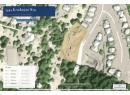
lot outline: 850 m² (9,149 sq ft) · PID 032-893-230. from ParcelMap BC; property lines are approximate, a survey is the legal boundary.
Walkability 31/100 · Mostly by car
Within a 10 minute walk: 10 parks and playgrounds, 15 transit stops.
mihom score from OpenStreetMap places, by straight line distance.