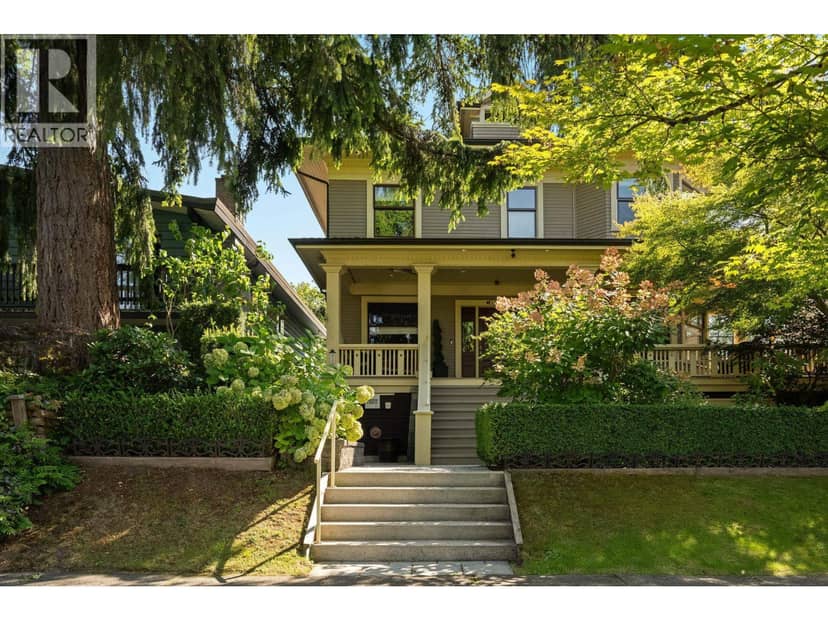
$1,398,000
330 W 14th Avenue
Vancouver8 days on market
listed by Engel & Volkers Vancouver
MLS® R3176899
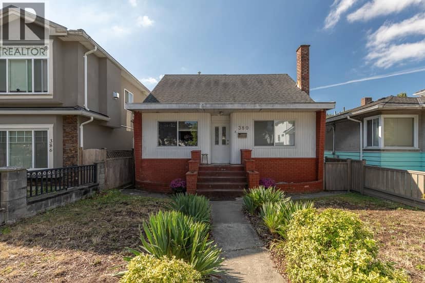
Vancouver · MLS® R3179223
6411
2,026 sq ft · 3,647 sq ft lot · House · Single Family · built 1946 · listed today
listed by Patrick Weeks, RE/MAX Select Properties
Excellent land value opportunity in South Vancouver! This 33' x 110.5' (3,646.5 sq. ft.) lot presents an excellent opportunity for builders, investors, or those looking to create a new home or multiplex. Conveniently situated in a central South Vancouver location with easy access to transit, shopping, parks, Marine Gateway, Oakridge, and major transportation routes. Families will appreciate the desirable John Henderson Elementary and John Oliver Secondary school catchments. A solid opportunity to secure a well-located development site with flexible future potential in an established Vancouver neighbourhood.
20% down at 4.34% fixed (Ratehub.ca), 25 years; tax from the listing.
Catchment schools, Vancouver School Board
600 m away · 451 53rd Ave E, Vancouver · 604-713-4837
1.7 km away · 530 41st Ave E, Vancouver · 604-713-8938
From the Vancouver School Board's published catchment maps. A catchment gives priority, not a guaranteed seat, and French immersion and choice programs work differently. The district confirms catchment: check with its school locator.
Keep private notes and ratings on homes you're considering. (email only) and they follow you to every device.
Rapid transit: Marine Drive SkyTrain station, 1.6 km (about 25 min walk); Langara-49th Avenue SkyTrain station, 1.6 km (about 26 min walk).
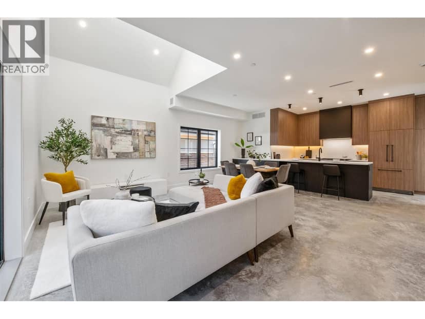
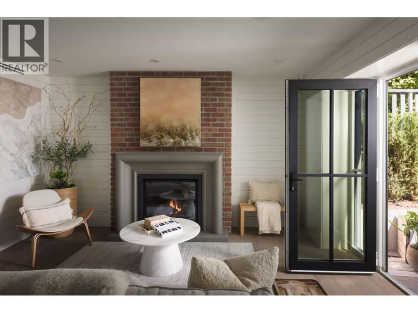
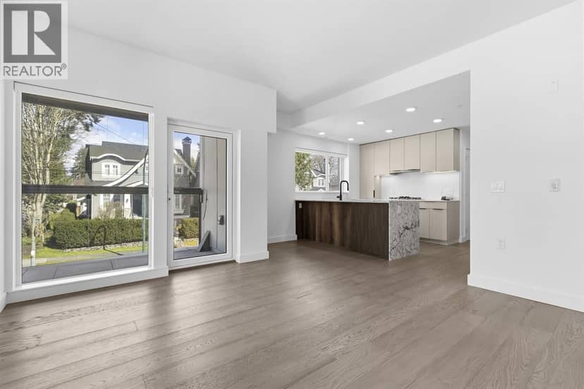
Houses in Vancouver. Sale prices register 1 to 3 months after a sale closes.
lot outline: 339 m² (3,649 sq ft) · PID 010-519-122. from ParcelMap BC; property lines are approximate, a survey is the legal boundary.
Rapid transit: Marine Drive SkyTrain station, 1.6 km (about 25 min walk); Langara-49th Avenue SkyTrain station, 1.6 km (about 26 min walk).
Walkability 69/100 · Walkable: many errands on foot
Within a 10 minute walk: 3 places to eat or drink, 8 parks and playgrounds, 2 schools, 1 pharmacy, 13 transit stops.
mihom score from OpenStreetMap places, by straight line distance.
The BC Wildfire Service rates Vancouver's wildland urban interface as risk class 5 of 5 (lowest; 1 is the highest). One wildfire of 10 hectares or more burned within 5 km since 2006: 2018 (13 ha). Some insurers price for wildfire, and FireSmart BC has a free home assessment guide.
Source: BC Wildfire Service, WUI risk class and fire perimeters
From public government maps, matched to the listing's map pin. Maps can be out of date or miss a lot line; confirm with the municipality.