




Land
$139,900
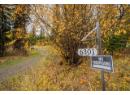
3961 Canimview Drive
Forest Grove8 days on market
listed by eXp Realty (100 Mile)
MLS® R3176097








Forest Grove · MLS® R3106936
2 sq ft lot · Land · Vacant Land · 204 days on market
listed by Sallee Duntin, Real Broker BC LTD
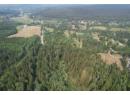
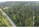
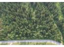
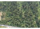
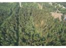
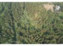
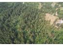
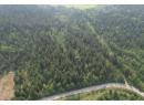
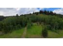
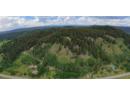
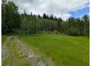
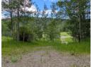
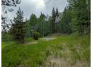
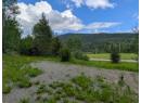
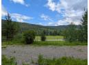
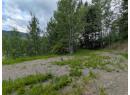
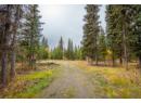
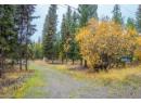
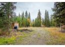
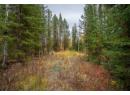
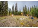
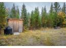
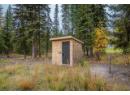
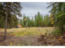
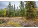
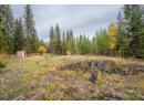
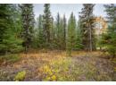
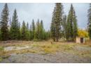
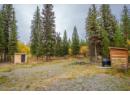
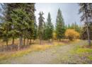
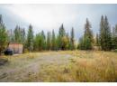
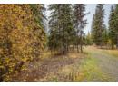
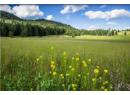
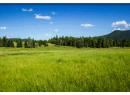
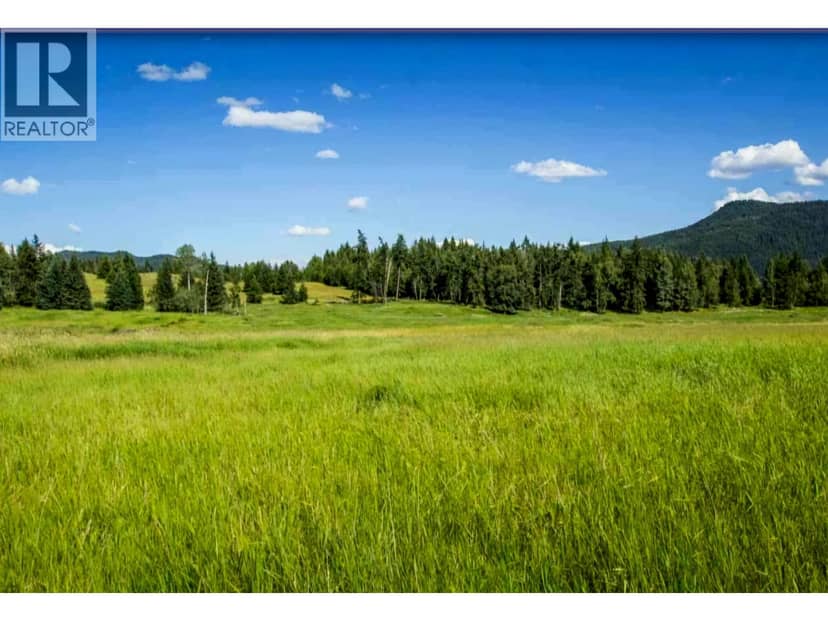
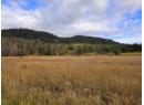
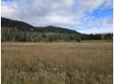
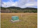
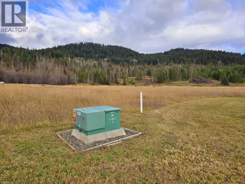
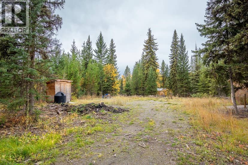
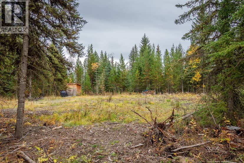
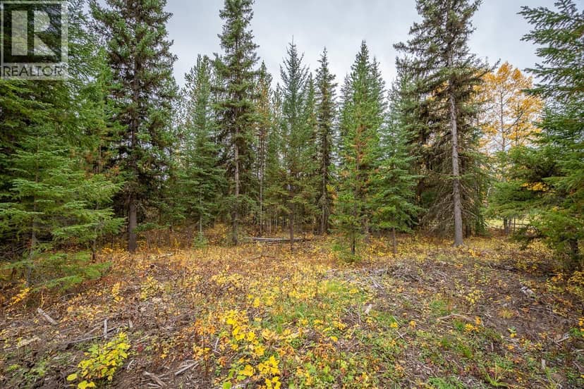
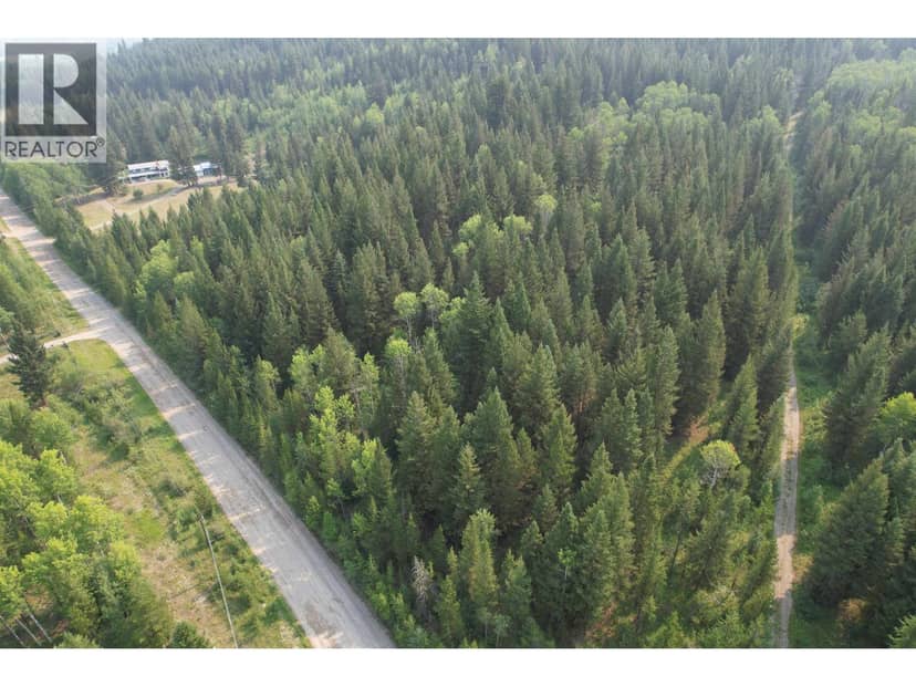
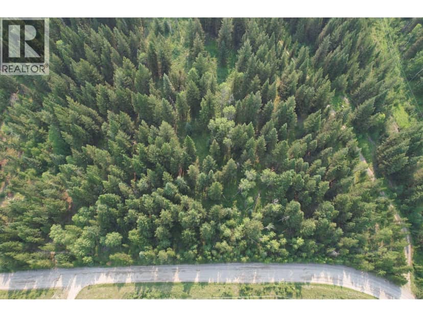
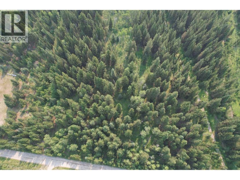
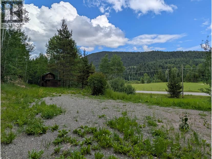
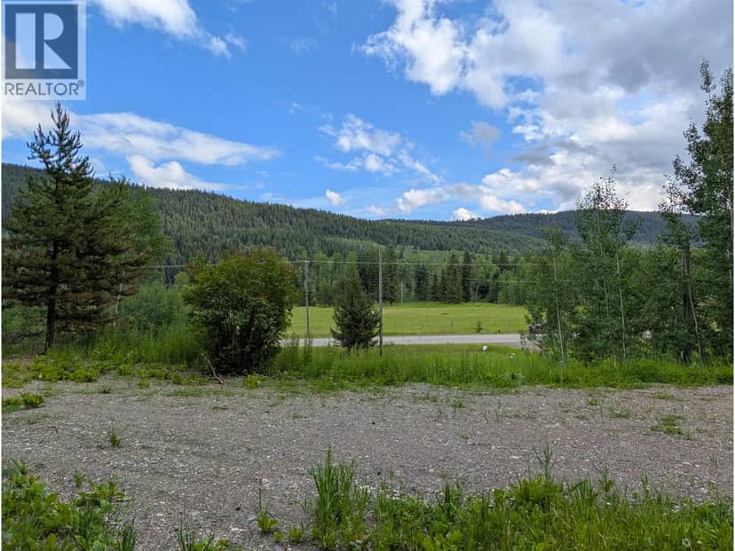
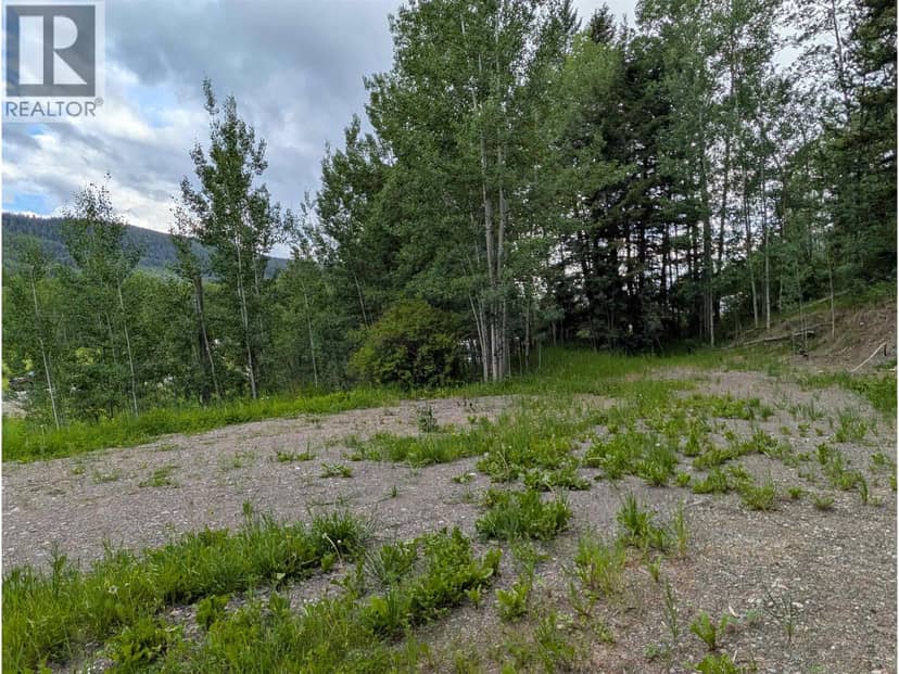
This is the perfect get-away spot, tucked into the trees on 2 acres near Forest Grove. A septic system and 200 amp power are already on the property and there's natural gas at the road. The driveway is in and a there's a lovely, cleared site where a person could build a permanent home. Some nice clean up has recently been done in the treed areas, opening up more of the land. This spot is a must-see. Gorgeous... private... quiet. The trifecta of Cariboo goodness!
20% down at 4.34% fixed (Ratehub.ca), 25 years; tax from the listing.
Keep private notes and ratings on homes you're considering. (email only) and they follow you to every device.
An estimate from public BC Assessment records, registered sales and the listings for sale right now, not an appraisal. Condition, renovations, views and lot all move real value.
lot outline: 6,173 m² (66,446 sq ft) · PID 007-068-310. from ParcelMap BC; property lines are approximate, a survey is the legal boundary.
Walkability 0/100 · Car needed for most errands
Nothing everyday within a 10 minute walk.
mihom score from OpenStreetMap places, by straight line distance.
On market 204 days · no price changes so far
On the market 204 days. No price changes recorded since Oct 10, 2026.
Price changes tracked nightly by mihom since October 2026. Sales are registered sales from BC Assessment.
Homes in Forest Grove. Sale prices register 1 to 3 months after a sale closes.

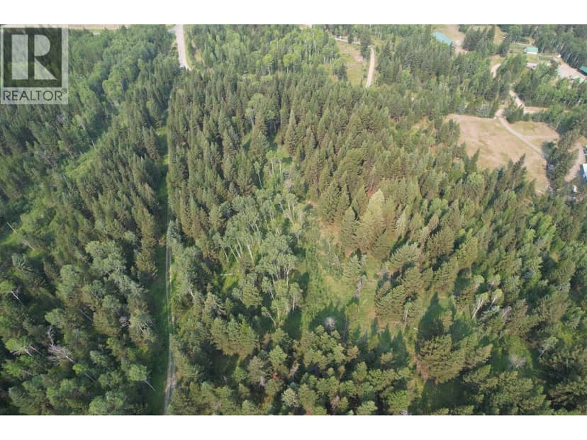
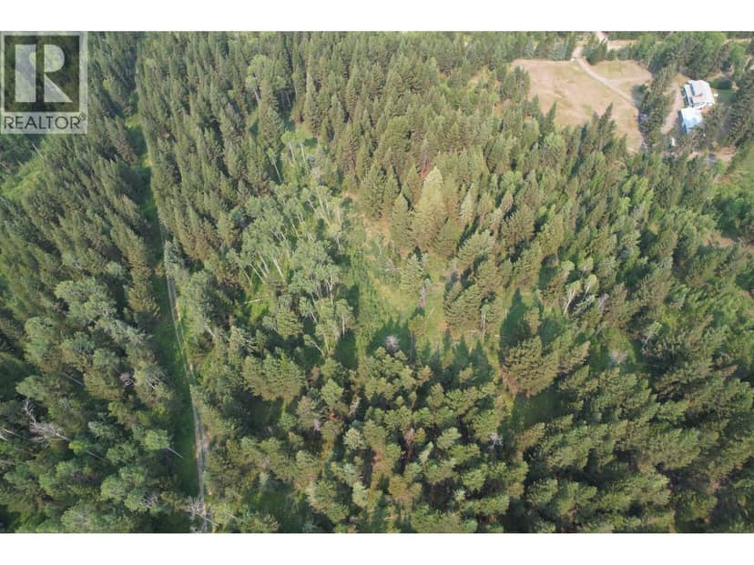
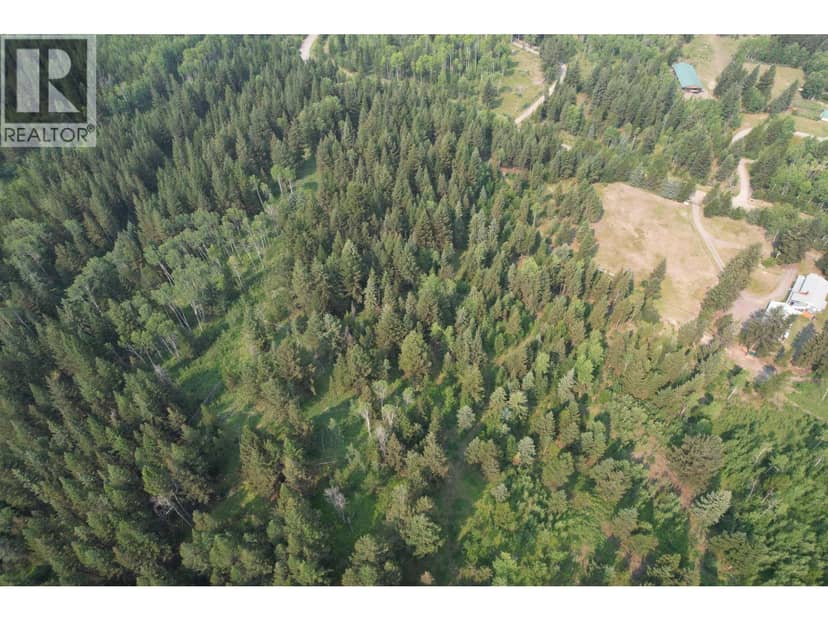

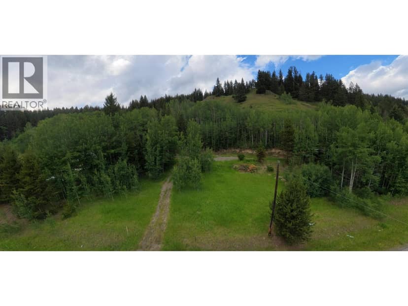
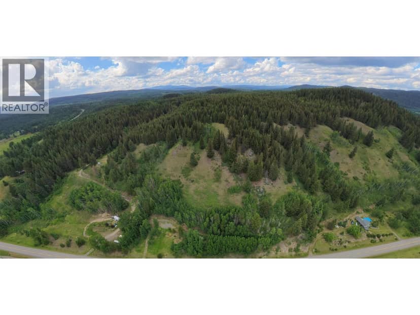
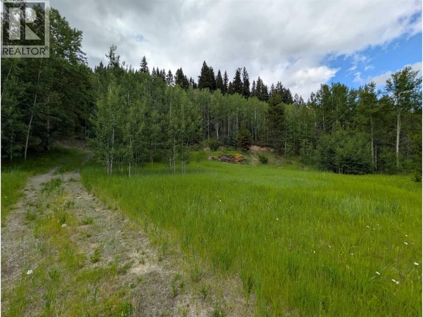
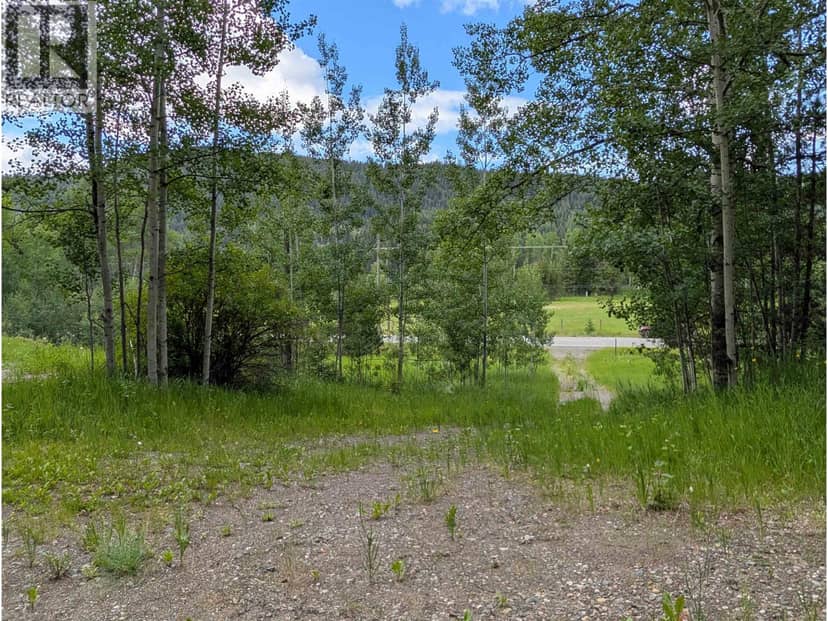
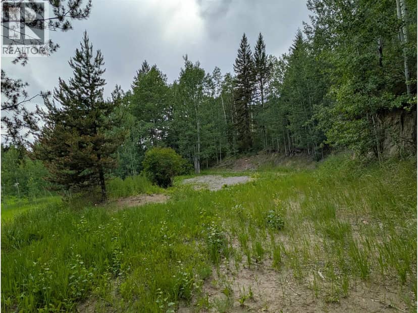
This address is inside the Agricultural Land Reserve. ALR land is set aside for farming; building, subdividing and non-farm uses follow Agricultural Land Commission rules.
The BC Wildfire Service rates Forest Grove's wildland urban interface as risk class 1 of 5 (the highest class). One wildfire of 10 hectares or more burned within 5 km since 2006: 2009 (135 ha). Some insurers price for wildfire, and FireSmart BC has a free home assessment guide.
Source: BC Wildfire Service, WUI risk class and fire perimeters
From public government maps, matched to the listing's map pin. Maps can be out of date or miss a lot line; confirm with the municipality.