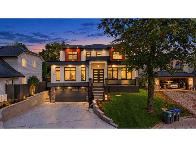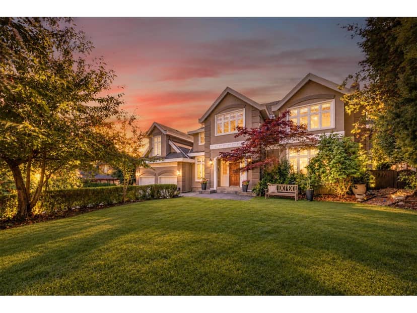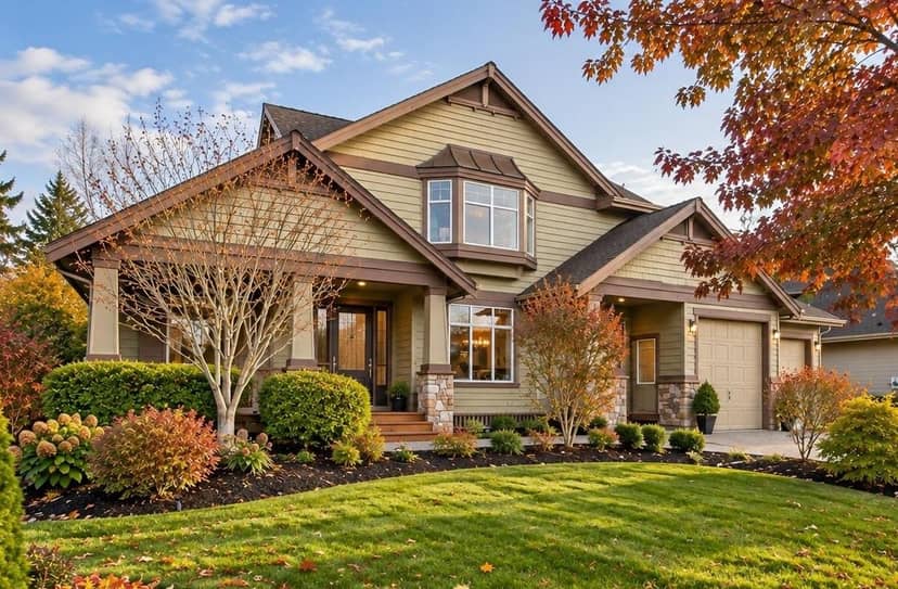
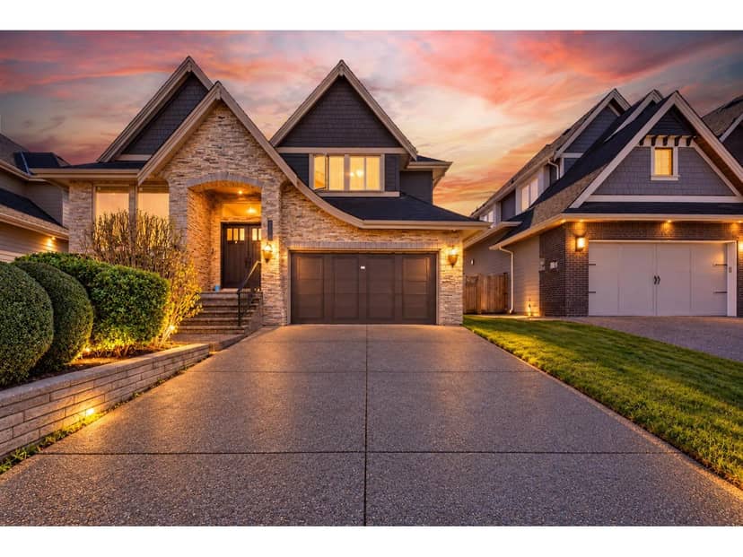
$2,186,000
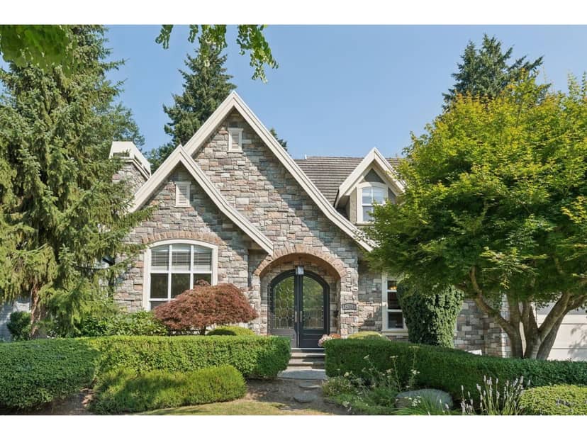
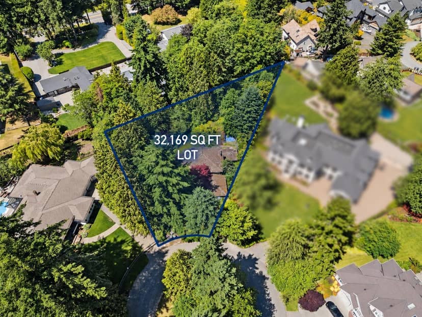
16180 27A Avenue
Surrey3 days on market
listed by Royal Pacific Riverside Realty Ltd.
MLS® R3178793
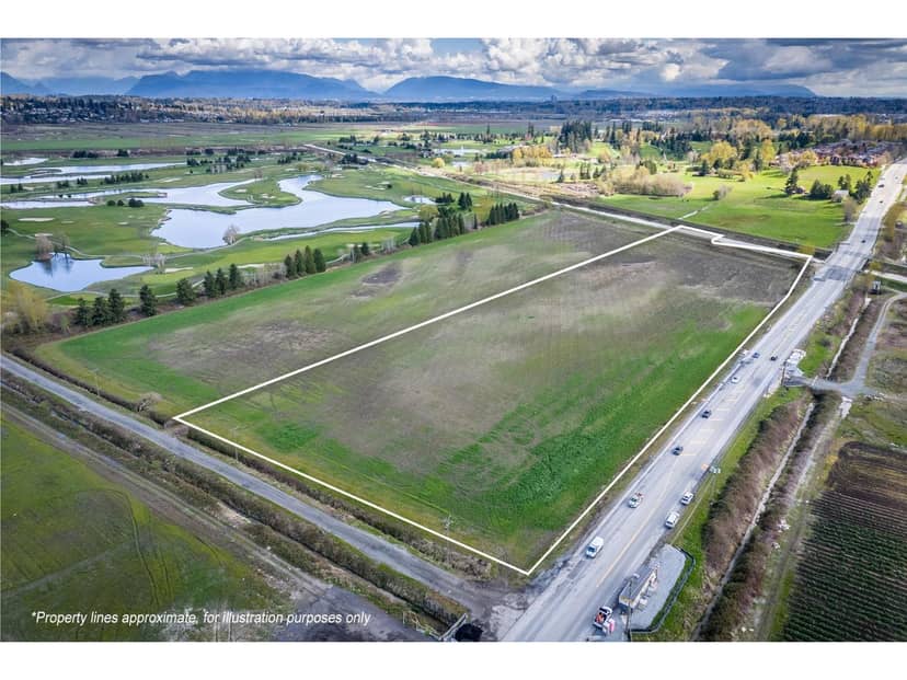
Surrey · MLS® R3100980
14 acres lot · Land · Vacant Land · 225 days on market
listed by Monica Lee, Royal LePage - Wolstencroft
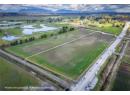
Nestled in the heart of Cloverdale on ALR zoned land, This remarkable 13.582 acre parcel of farm land offers a unique opportunity for those seeking a serene rural lifestyle with the convenience of urban amentities. The expansive well drained flat terrain is perfectly suited for farming and crop growing, perfect for agricultural enthusiasts or those looking to create a sustainable oasis. With stunning mountain views, this rare propety presents a perfect setting for a dream home. It will allow for a 5400 sq ft primary residence plus another 900 sq ft home. Don't miss out on this rare opportunity to own a piece of history in Cloverdale. Please do not walk the property without permission from the listing agent.
20% down at 4.44% fixed (Ratehub.ca), 25 years; tax from the listing.
Catchment schools, Surrey School District 36
1.3 km away · 16545 61 Ave, Surrey · 604-574-7296
4.0 km away · 6151 180 St, Surrey · 778-242-7545
From the Surrey School District 36's published catchment maps. A catchment gives priority, not a guaranteed seat, and French immersion and choice programs work differently. The district confirms catchment: check with its school locator.
Keep private notes and ratings on homes you're considering. (email only) and they follow you to every device.
| year | assessed | est. tax |
|---|---|---|
| 2026 | $26,064 | $89 |
The listing shows $713 a year in property tax.
Estimate: the BC Assessment value times Surrey's residential tax rate for that year (Province of BC, local government statistics). Leaves out the home owner grant, parcel taxes and utility charges; the city's tax notice is the real figure.
Homes in Surrey. Sale prices register 1 to 3 months after a sale closes.
This address is within a designated floodplain on the provincial floodplain maps (Serpentine & Nicomekl Rivers). Local rules can set things like minimum floor heights; the municipality can confirm what applies.
This address is inside the Agricultural Land Reserve. ALR land is set aside for farming; building, subdividing and non-farm uses follow Agricultural Land Commission rules.
From public government maps, matched to the listing's map pin. Maps can be out of date or miss a lot line; confirm with the municipality.
lot outline: 54,431 m² (585,890 sq ft) · PID 006-458-611. from ParcelMap BC; property lines are approximate, a survey is the legal boundary.
Walkability 15/100 · Car needed for most errands
Nothing everyday within a 10 minute walk.
mihom score from OpenStreetMap places, by straight line distance.