

















House
$1,500,000
2-6;8-9, 928 3 Avenue NW
Sunnyside, Calgary43 days on market
listed by eXp Realty
MLS® A2344803








Sunnyside, Calgary · MLS® A2352987
7,200 sq ft lot · Land · Vacant Land · 8 days on market
listed by Aleksey Julanov, RE/MAX First
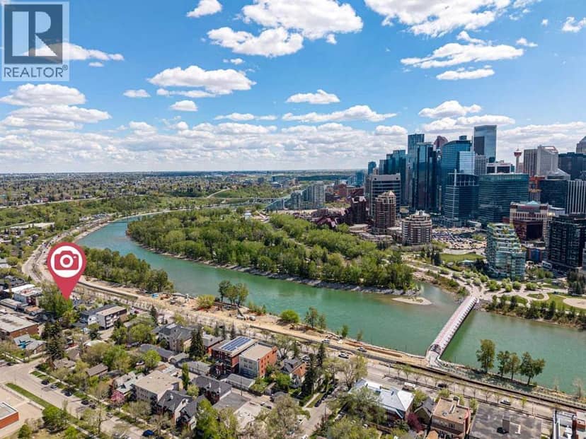
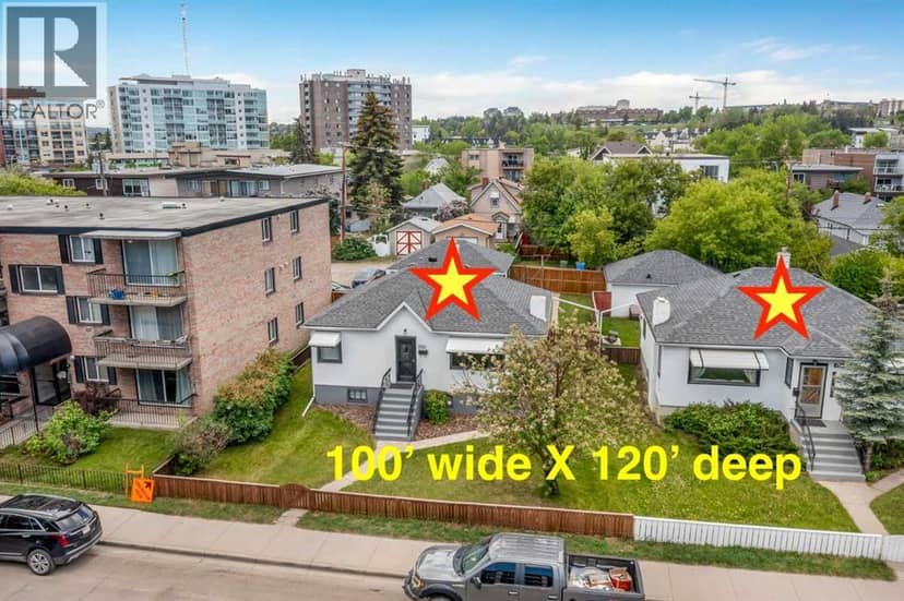
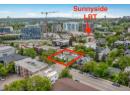
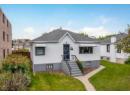
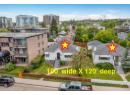
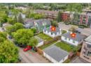
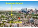
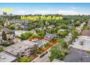
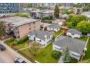
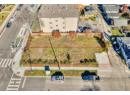
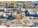
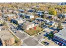
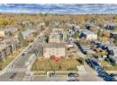
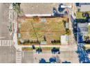
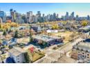
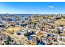
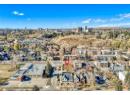
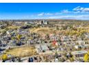
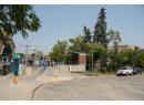
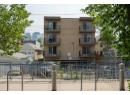
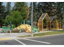
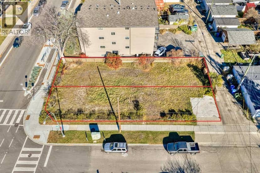
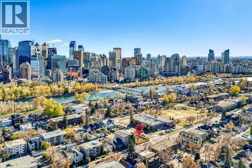
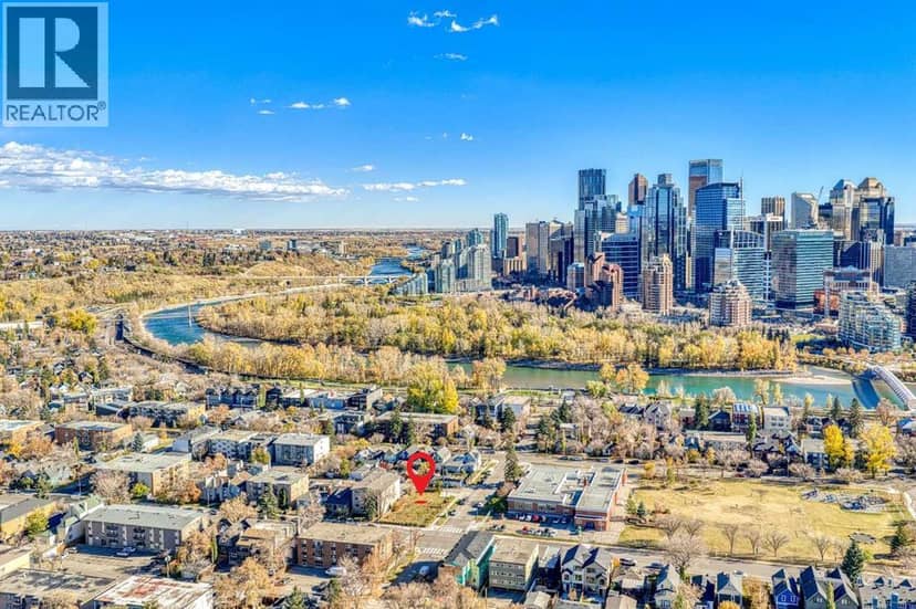
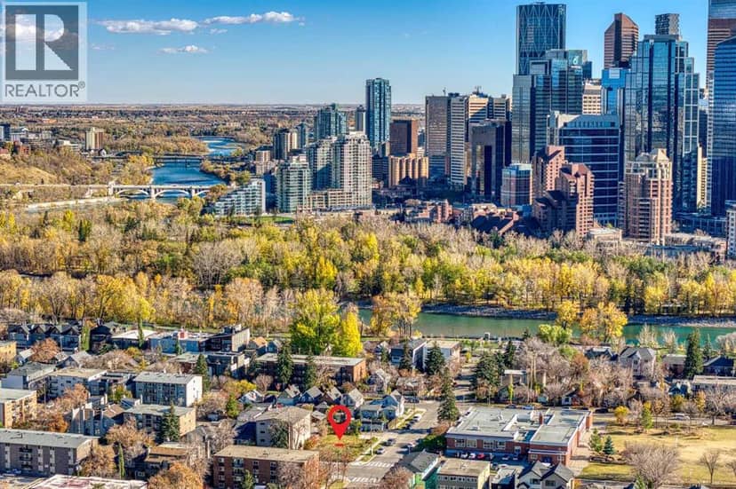
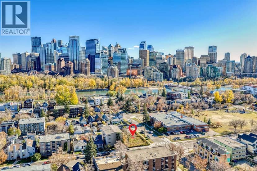
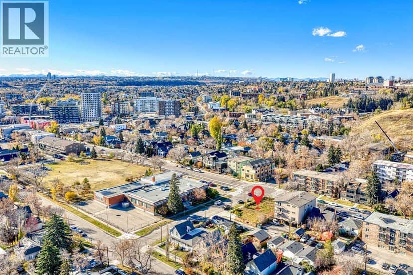
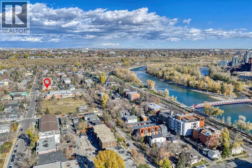
***All Offers will be presented to Seller on October 26th, 2026***Calling all builders and developers right over here! 737 and 739 Ave NW - an EXTREMELY RARE OPPORTUNITY in the sought after Sunnyside. A land assembly of TWO 30' x 120' lots forming a perfect ***CORNER 60' x 120' PARCEL*** right across the street from Sunnyside School. Walking distance to downtown, all the bars and restaurants of Kensington, the Sunnyside LRT station and SAIT. Opportunities are endless here...build two single family detached homes...or combine the lots and build townhomes (subject to the City of Calgary approval). Drive by now to take a look at the lots and call your favourite agent to place an offer!
20% down at 4.34% fixed (Ratehub.ca), 25 years; tax from the listing.
Nearest public (CBE) and Catholic schools, by distance
The nearest school isn't always the designated one, and Calgary's boards don't publish their boundaries as open data. Check this address with the CBE school finder or Calgary Catholic's. School locations: City of Calgary open data.
Keep private notes and ratings on homes you're considering. (email only) and they follow you to every device.
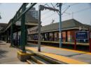
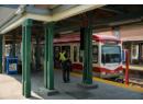
Rapid transit: Sunnyside CTrain station, 400 m (about 6 min walk); SAIT/AUArts/Jubilee CTrain station, 1.1 km (about 17 min walk).
about $7,979 a year
The asking price times Calgary's 2026 residential rate of 6.65 per $1,000 (municipal and education).
The listing shows $6,035 a year in property tax.
Estimate from Alberta Municipal Affairs mill rates. Leaves out local improvement levies and utilities; the municipality's tax notice is the real figure. Without the city's assessment this uses the asking price, so it's a rough guide.
Rapid transit: Sunnyside CTrain station, 400 m (about 6 min walk); SAIT/AUArts/Jubilee CTrain station, 1.1 km (about 17 min walk).
Walkability 89/100 · Very walkable: most errands on foot
Within a 10 minute walk: 2 grocery stores, 23 places to eat or drink, 10 cafes, 16 parks and playgrounds, 1 school, 1 pharmacy, 14 transit stops.
mihom score from OpenStreetMap places, by straight line distance.