
$1,638,000
12331 Harrison Avenue
Richmondlisted today
listed by Nu Stream Realty Inc.
MLS® R3178281

Richmond · MLS® R3178666
544
2,803 sq ft · 0 sq ft lot · House · Single Family · built 1994 · listed today
listed by Ally Teng, Macdonald Realty Westmar
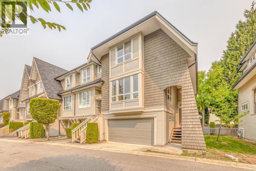
This well maintained home has been occupied by its original owner and has never been rented. Recent updates include fresh interior and exterior paint and new lighting. The main floor offers an ensuite bedroom, while upstairs features four bedrooms, including three with ensuites. The open-to-below design creates an impressive high-ceiling space. All rooms are well laid out and easy to furnish. Located on a well-planned street with no visible utility poles, the home offers easy access to everywhere. A rare opportunity to own a lovingly maintained home.
found among the listing photos.
20% down at 4.34% fixed (Ratehub.ca), 25 years; tax from the listing.
Catchment schools, Richmond School District 38
500 m away · 12440 Woodhead Rd, Richmond · 604-668-6250
700 m away · 4151 Jacombs Rd, Richmond · 604-668-6430
From the Richmond School District 38's published catchment maps. A catchment gives priority, not a guaranteed seat, and French immersion and choice programs work differently. The district confirms catchment: check with its school locator.
Keep private notes and ratings on homes you're considering. (email only) and they follow you to every device.
Houses in Richmond. Sale prices register 1 to 3 months after a sale closes.



lot outline: 480 m² (5,167 sq ft) · PID 018-482-996. from ParcelMap BC; property lines are approximate, a survey is the legal boundary.
Walkability 55/100 · Somewhat walkable: some errands on foot
Within a 10 minute walk: 1 cafe, 9 parks and playgrounds, 3 schools.
mihom score from OpenStreetMap places, by straight line distance.
The BC Wildfire Service rates Vancouver's wildland urban interface as risk class 5 of 5 (lowest; 1 is the highest). One wildfire of 10 hectares or more burned within 5 km since 2006: 2018 (13 ha). Some insurers price for wildfire, and FireSmart BC has a free home assessment guide.
Source: BC Wildfire Service, WUI risk class and fire perimeters
From public government maps, matched to the listing's map pin. Maps can be out of date or miss a lot line; confirm with the municipality.