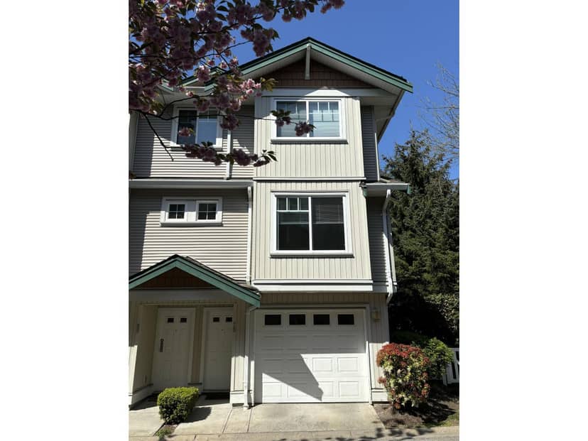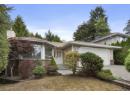
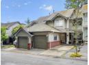

Townhouse
$829,900
22% less per sq ft512 13900 Hyland Road
Surrey34 days on market
listed by Oakwyn Realty Ltd.
MLS® R3168480

Surrey · MLS® R3072403
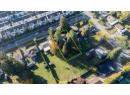
10,275 sq ft lot · Land · Vacant Land · 325 days on market
listed by Harpal S. Lehal, Century 21 Coastal Realty Ltd.
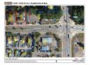
Location Location. Great Development Potential! Both 13525 & 13535-64 Ave. are to be sold together. Build your dream duplex on this 87+ ft. wide ¼-acre lot or develop multifamily under the approved Newton-King George Boulevard Plan. Located just two lots West of King George Blvd on 64 Ave, with the adjacent ¼-acre parcel (13535 64 Ave, see MLS#R3072404) also available-offering nearly ½ acre with 174+ ft. frontage for an ideal land assembly. Trans-Link's 2025 plan includes 12 new stations along King George Blvd., including one at 64 Ave. Bus stop out front and quick access to King George Blvd., Sky-Train, and Surrey City Centre. Submit Offers!
20% down at 4.34% fixed (Ratehub.ca), 25 years; tax from the listing.
Catchment schools, Surrey School District 36
400 m away · 6550 134 St, Surrey · 604-596-6324
500 m away · 13220 64 Ave, Surrey · 604-595-8890
From the Surrey School District 36's published catchment maps. A catchment gives priority, not a guaranteed seat, and French immersion and choice programs work differently. The district confirms catchment: check with its school locator.
Keep private notes and ratings on homes you're considering. (email only) and they follow you to every device.
| year | assessed | est. tax |
|---|---|---|
| 2026 | $1,192,000 | $4,085 |
The listing shows $4,541 a year in property tax.
Estimate: the BC Assessment value times Surrey's residential tax rate for that year (Province of BC, local government statistics). Leaves out the home owner grant, parcel taxes and utility charges; the city's tax notice is the real figure.
Development permit for 24 homes
330 m away · 2024 · under review
Development Permit to construct an additional motel building (1 235 sq.m) containing 24 units within a Sensitive Ecosystems (streamside) and Hazard Lands (steep slope) DP area.
Rezoning for a 2 storey building
240 m away · 2026 · under review
Rezoning from CD (BL10667 ) to CD (Based on C-8) Development Permit for the construction of a two-storey 7 425.38 sqm retail commercial and office building including a SEDP (streamside areas) and Hazard Lands Development Permit (steep slope areas) and a Development Variance Permit (DVP) to vary setback requirements.
Applications filed with the city, active or decided in the last 3 years, measured from the listing's map pin. An application isn't an approval; the city's page has the current details. Source: City of Surrey development applications.
Homes in Surrey. Sale prices register 1 to 3 months after a sale closes.
lot outline: 955 m² (10,280 sq ft) · PID 002-395-088. from ParcelMap BC; property lines are approximate, a survey is the legal boundary.
Walkability 57/100 · Somewhat walkable: some errands on foot
Within a 10 minute walk: 3 places to eat or drink, 11 parks and playgrounds, 3 schools, 15 transit stops.
mihom score from OpenStreetMap places, by straight line distance.