
$2,749,999
19843 37A Avenue
Langleylisted today
listed by Planet Group Realty Inc.
MLS® R3178640

Langley · MLS® R3178096
9415
4,900 sq ft · 391,604 sq ft lot · House · Single Family · built 1990 · listed today
listed by Tamara Baltic, Oakwyn Realty Ltd.
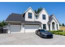
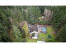
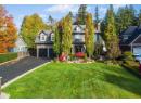
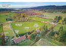
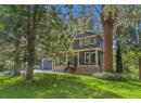
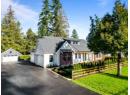
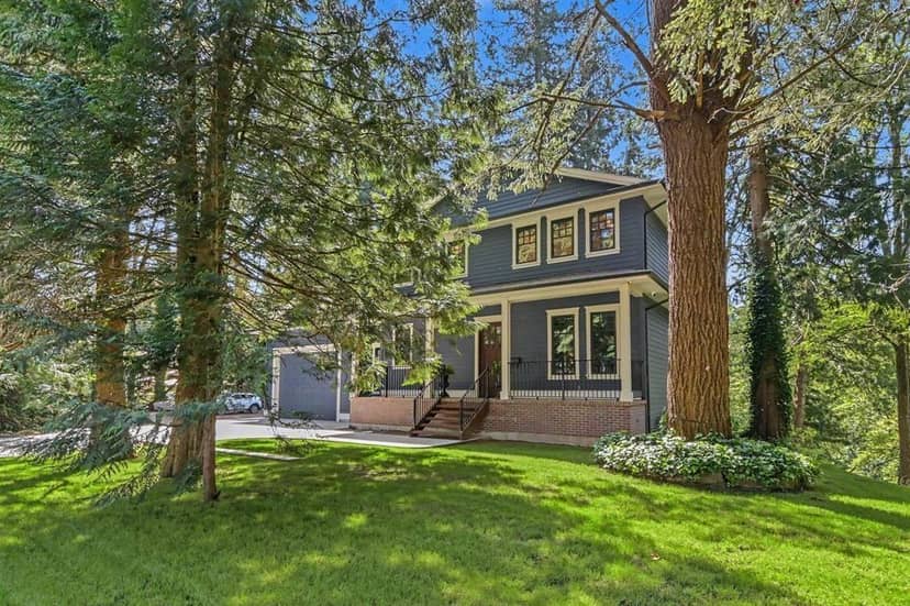
Beautifully renovated multi-generational home on a private 8.99 acres. 2 road frontages, 26th Ave is a quiet no thru road and backs a nature reserve. 32x100 shop w/600 amp power, + loading bay. 27x57 shop w/400 amp power + gas service. Mobile home pad in place w/ power, water, gas an engineered septic installed. RU-3 zoning, this property offers multiple opportunities for families, farming + equestrians. Home + shops has been fully updated, see additional docs for full details. Exceptional location that offers a country lifestyle, while still close to schools, shopping and amenities. Call today for your private tour.
found among the listing photos.
20% down at 4.34% fixed (Ratehub.ca), 25 years; tax from the listing.
Catchment schools, Langley School District 35
2.2 km away · 23851 24 Ave, Langley · 604-534-5633
5.7 km away · 23752 52 Ave, Langley · 604-530-2151
From the Langley School District 35's published catchment maps. A catchment gives priority, not a guaranteed seat, and French immersion and choice programs work differently. The district confirms catchment: check with its school locator.
Keep private notes and ratings on homes you're considering. (email only) and they follow you to every device.
| year | assessed | est. tax |
|---|---|---|
| 2026 | $3,865,000 | $13,979 |
The listing shows $11,548 a year in property tax.
Estimate: the BC Assessment value times Langley's residential tax rate for that year (Province of BC, local government statistics). Leaves out the home owner grant, parcel taxes and utility charges; the city's tax notice is the real figure.
Houses in Langley. Sale prices register 1 to 3 months after a sale closes.

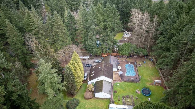


This address is inside the Agricultural Land Reserve. ALR land is set aside for farming; building, subdividing and non-farm uses follow Agricultural Land Commission rules.
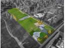
From public government maps, matched to the listing's map pin. Maps can be out of date or miss a lot line; confirm with the municipality.
lot outline: 36,379 m² (391,580 sq ft) · PID 006-163-726. from ParcelMap BC; property lines are approximate, a survey is the legal boundary.
Walkability 0/100 · Car needed for most errands
Nothing everyday within a 10 minute walk.
mihom score from OpenStreetMap places, by straight line distance.