$350,000
2314 Hudson Terr
Broomhill, Sooke36 days on market
listed by Pemberton Holmes Ltd.
MLS® 1050336
Broomhill, Sooke · MLS® 1040662
9,583 sq ft lot · Land · Vacant Land · 135 days on market
listed by Dana Hahn, RE/MAX Camosun
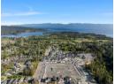
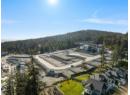
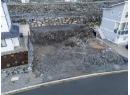
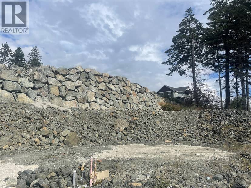
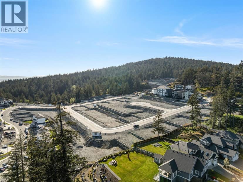
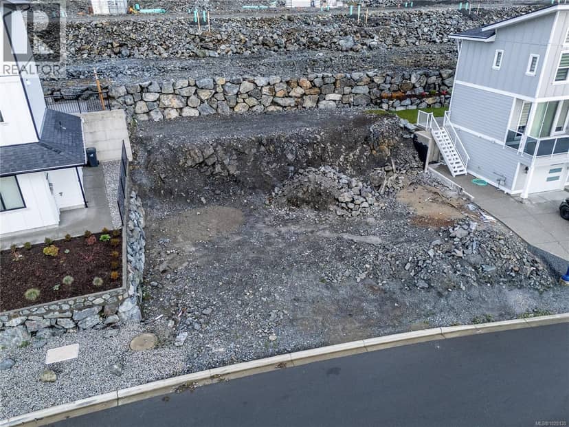
0.22-acre sloping lot situated in a sought-after, well-established Sooke neighbourhood. Zoned R2 Medium Residential, the property supports a range of permitted uses, including horticulture, single-family dwellings, and small-scale multi-unit residential dwellings (buyers are encouraged to verify specific permitted uses with the District of Sooke). The lot is currently unserviced, with hydro, sewer, and community water available at the street. Second access from the center driveway is an easement to the benefit of the subject property. Conveniently located close to shopping, schools, parks, and everyday amenities, this property offers an excellent opportunity to build in one of Sooke’s desirable residential areas. Surrounded by stunning natural beauty, Sooke is known for its abundance of outdoor recreational opportunities, including hiking, cycling, fishing, and exploring the region’s scenic coastline and forests.
20% down at 4.44% fixed (Ratehub.ca), 25 years; tax from the listing.
Catchment schools, Sooke School District 62
1.7 km away · PO Box 70, Sooke · 250-642-5431
1.6 km away · PO Box 100, Sooke · 250-642-5881
3.1 km away · PO Box 1010, Sooke · 250-642-5211
From the Sooke School District 62's published catchment maps. A catchment gives priority, not a guaranteed seat, and French immersion and choice programs work differently. The district confirms catchment: check with its school locator.
Keep private notes and ratings on homes you're considering. (email only) and they follow you to every device.
Homes in Sooke. Sale prices register 1 to 3 months after a sale closes.
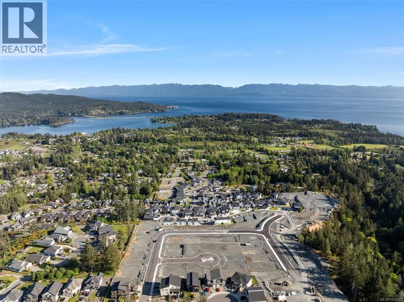
The BC Wildfire Service rates Langford's wildland urban interface as risk class 1 of 5 (the highest class). Some insurers price for wildfire, and FireSmart BC has a free home assessment guide.
Source: BC Wildfire Service, WUI risk class and fire perimeters
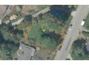
From public government maps, matched to the listing's map pin. Maps can be out of date or miss a lot line; confirm with the municipality.
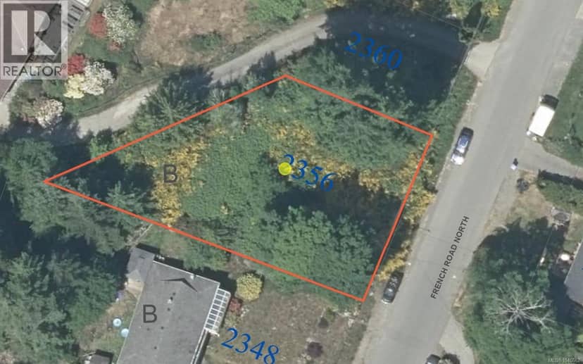
lot outline: 900 m² (9,688 sq ft) · PID 000-345-415. from ParcelMap BC; property lines are approximate, a survey is the legal boundary.
Walkability 30/100 · Mostly by car
Within a 10 minute walk: 15 parks and playgrounds, 9 transit stops.
mihom score from OpenStreetMap places, by straight line distance.