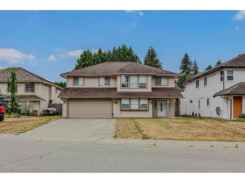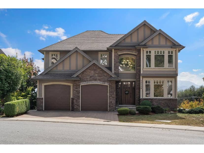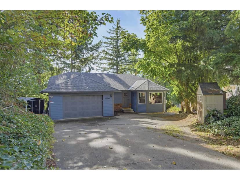
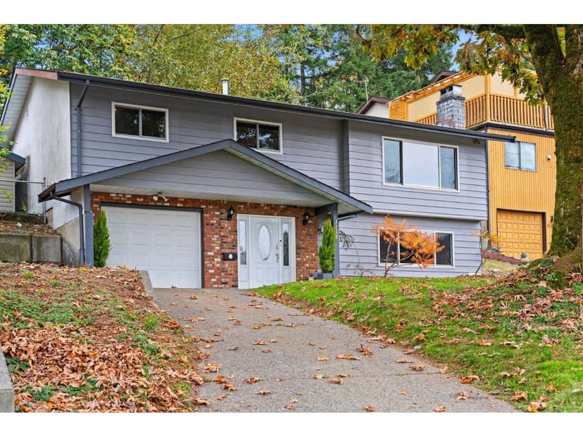
$949,900
3134 Elgon Court
Abbotsford3 days on market
listed by Century 21 In Town Realty
MLS® R3179184
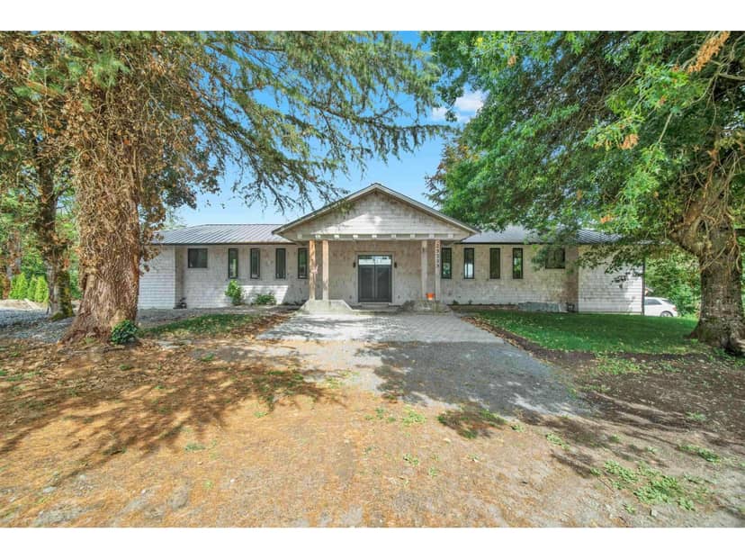
Abbotsford · MLS® R3123336
435
3,698 sq ft · 217,800 sq ft lot · House · Single Family · built 1976 · 170 days on market
listed by Naval Sharma, Woodhouse Realty
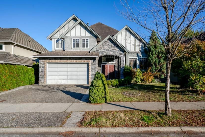
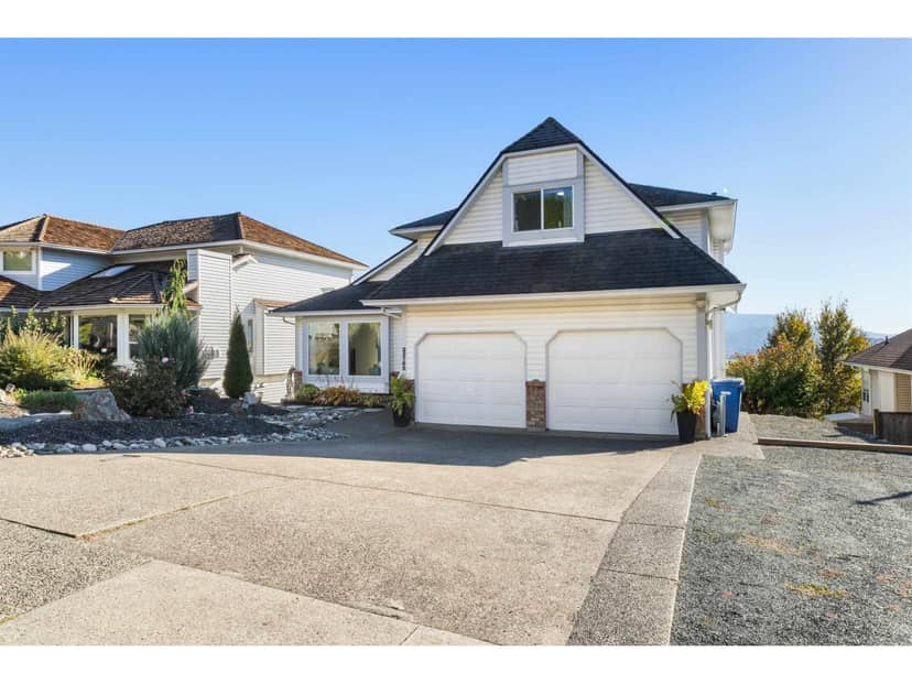
A View That Will Leave You Speechless! Perched to overlook stunning river and mountain vistas from your living room, kitchen, family room, master suite, or expansive deck, this home offers unmatched scenery and privacy on a quiet no-thru street. Partially updated with a luxurious spa-inspired master suite, this spacious gem is brimming with potential for your personal touch. The open-concept kitchen and living area make entertaining effortless, while the 3-door detached shop with its own driveway is a dream for car lovers or woodworking enthusiasts. Enjoy summer BBQs or cozy evenings by the fire pit on the massive sundeck. Homes with views like this are rare-don't miss it!
20% down at 4.44% fixed (Ratehub.ca), 25 years; tax from the listing.
Catchment schools, Abbotsford School District 34
5.8 km away · 5291 Bradner Rd, Abbotsford · 604-856-3304
10.0 km away · 3433 Firhill Dr, Abbotsford · 604-504-5343
9.8 km away · 31150 Blueridge Dr, Abbotsford · 604-864-0011
From the Abbotsford School District 34's published catchment maps. A catchment gives priority, not a guaranteed seat, and French immersion and choice programs work differently. The district confirms catchment: check with its school locator.
Keep private notes and ratings on homes you're considering. (email only) and they follow you to every device.
| year | assessed | est. tax |
|---|---|---|
| 2026 | $1,452,000 | $6,564 |
The listing shows $6,180 a year in property tax.
Estimate: the BC Assessment value times Abbotsford's residential tax rate for that year (Province of BC, local government statistics). Leaves out the home owner grant, parcel taxes and utility charges; the city's tax notice is the real figure.
Houses in Abbotsford. Sale prices register 1 to 3 months after a sale closes.
lot outline: 20,268 m² (218,163 sq ft) · PID 006-163-181. from ParcelMap BC; property lines are approximate, a survey is the legal boundary.
Walkability 6/100 · Car needed for most errands
Nothing everyday within a 10 minute walk.
mihom score from OpenStreetMap places, by straight line distance.
This address is inside the Agricultural Land Reserve. ALR land is set aside for farming; building, subdividing and non-farm uses follow Agricultural Land Commission rules.
From public government maps, matched to the listing's map pin. Maps can be out of date or miss a lot line; confirm with the municipality.