House
$2,698,000
2245 W 22nd Avenue
Vancouver118 days on market
listed by Sutton Group - Grimson Realty
MLS® R3141636

Vancouver · MLS® R3151305
1082
3,802 sq ft · 5,888 sq ft lot · House · Single Family · built 1964 · 88 days on market
listed by Tony Yuen, 1NE Collective Realty Inc.
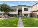
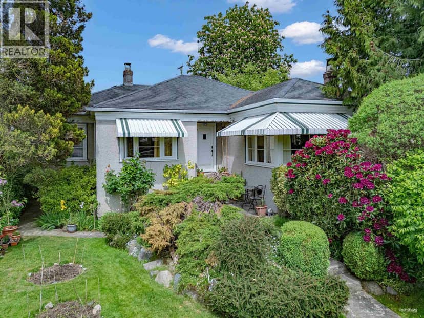
Rare investment opportunity to own a West of Main corner lot Side by Side solid Duplex. Lot size 53' x 111'. Sir Winston Churchill High School catchment. House updated 3800 sf with 2 civic addresses (189 & 199), with lower floor 8´ height and huge sundeck; double detached Garage. Walking distance to Marine Gateway, Canada Line Station at Cambie & shopping. T&T & Superstore nearby.
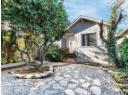
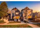
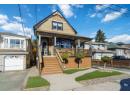
found among the listing photos.
20% down at 4.34% fixed (Ratehub.ca), 25 years; tax from the listing.
Catchment schools, Vancouver School Board
700 m away · 7410 Columbia St, Vancouver · 604-713-4901
1.9 km away · 7055 Heather St, Vancouver · 604-713-8189
From the Vancouver School Board's published catchment maps. A catchment gives priority, not a guaranteed seat, and French immersion and choice programs work differently. The district confirms catchment: check with its school locator.
Keep private notes and ratings on homes you're considering. (email only) and they follow you to every device.
Rapid transit: Marine Drive SkyTrain station, 1.1 km (about 17 min walk); Langara-49th Avenue SkyTrain station, 1.8 km (about 28 min walk).
| year | assessed | est. tax |
|---|---|---|
| 2026 | $2,041,600 | $6,865 |
The listing shows $10,467 a year in property tax.
Estimate: the BC Assessment value times Vancouver's residential tax rate for that year (Province of BC, local government statistics). Leaves out the home owner grant, parcel taxes and utility charges; the city's tax notice is the real figure.


Houses in Vancouver. Sale prices register 1 to 3 months after a sale closes.
lot outline: 546 m² (5,877 sq ft) · PID 013-423-533. from ParcelMap BC; property lines are approximate, a survey is the legal boundary.
Rapid transit: Marine Drive SkyTrain station, 1.1 km (about 17 min walk); Langara-49th Avenue SkyTrain station, 1.8 km (about 28 min walk).
Walkability 79/100 · Walkable: many errands on foot
Within a 10 minute walk: 1 grocery store, 5 places to eat or drink, 1 cafe, 4 parks and playgrounds, 1 school, 1 pharmacy, 15 transit stops.
mihom score from OpenStreetMap places, by straight line distance.
The BC Wildfire Service rates Vancouver's wildland urban interface as risk class 5 of 5 (lowest; 1 is the highest). One wildfire of 10 hectares or more burned within 5 km since 2006: 2018 (13 ha). Some insurers price for wildfire, and FireSmart BC has a free home assessment guide.
Source: BC Wildfire Service, WUI risk class and fire perimeters
From public government maps, matched to the listing's map pin. Maps can be out of date or miss a lot line; confirm with the municipality.