$4,498,000
16283 29 Avenue
Surrey1 day on market
listed by Angell, Hasman & Associates Realty Ltd.
MLS® R3178709

Surrey · MLS® C8082872
1,433,124 sq ft lot · Land · Agriculture · 11 days on market
listed by Jovin Gill, Real Broker B.C. Ltd.
Turnkey blueberry farm in South Surrey! Fully planted with desirable Duke and Draper varieties and set up for efficient machine picking. The farm features full drip irrigation throughout, providing the infrastructure needed for commercial production. Ideally located just outside Morgan Creek with easy access to the Douglas Border Crossing and major transportation routes. An excellent opportunity to acquire a productive blueberry operation in a prime Surrey location.
20% down at 4.34% fixed (Ratehub.ca), 25 years; tax from the listing.
Catchment schools, Surrey School District 36
3.9 km away · 3366 156a St, Surrey · 604-531-8426
2.5 km away · 16987 25 Ave, Surrey · 604-542-3320
From the Surrey School District 36's published catchment maps. A catchment gives priority, not a guaranteed seat, and French immersion and choice programs work differently. The district confirms catchment: check with its school locator.
Keep private notes and ratings on homes you're considering. (email only) and they follow you to every device.
| year | assessed | est. tax |
|---|---|---|
| 2026 | $101,066 | $346 |
The listing shows $4,571 a year in property tax.
Estimate: the BC Assessment value times Surrey's residential tax rate for that year (Province of BC, local government statistics). Leaves out the home owner grant, parcel taxes and utility charges; the city's tax notice is the real figure.
Homes in Surrey. Sale prices register 1 to 3 months after a sale closes.
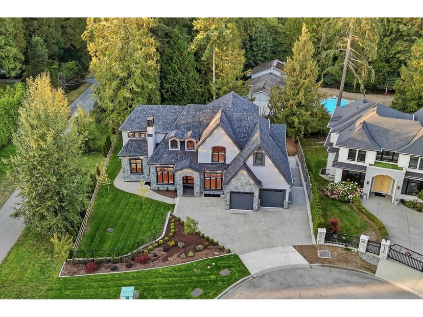
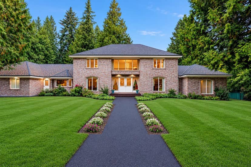
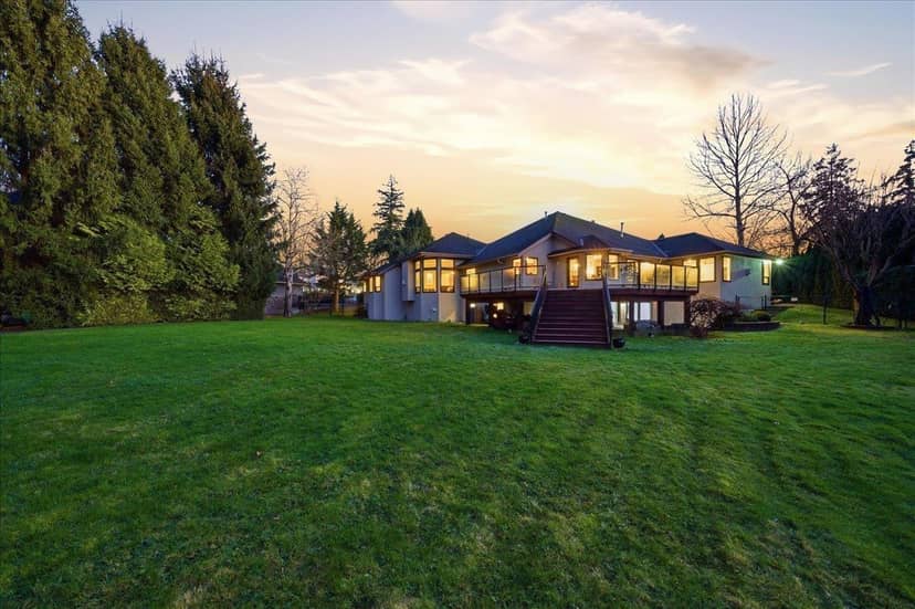
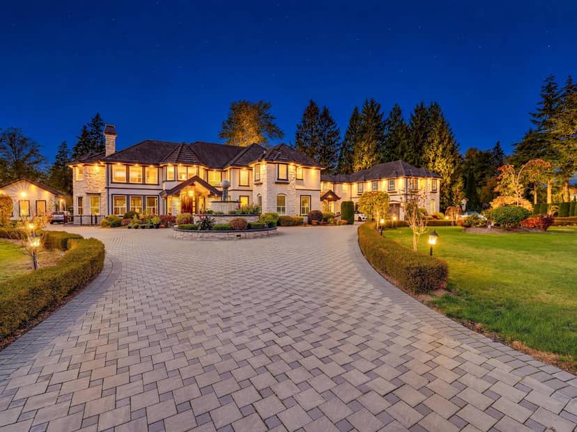
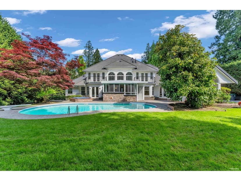
lot outline: 133,133 m² (1,433,030 sq ft) · PID 002-294-320. from ParcelMap BC; property lines are approximate, a survey is the legal boundary.
Walkability 6/100 · Car needed for most errands
Nothing everyday within a 10 minute walk.
mihom score from OpenStreetMap places, by straight line distance.
This address is within a designated floodplain on the provincial floodplain maps (Serpentine & Nicomekl Rivers). Local rules can set things like minimum floor heights; the municipality can confirm what applies.
This address is inside the Agricultural Land Reserve. ALR land is set aside for farming; building, subdividing and non-farm uses follow Agricultural Land Commission rules.
From public government maps, matched to the listing's map pin. Maps can be out of date or miss a lot line; confirm with the municipality.