$3,498,888
24782 59A Avenue
Langley1 day on market
listed by Sutton Premier Realty
MLS® R3179555
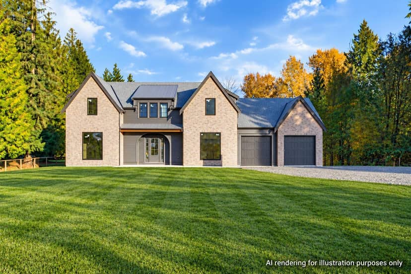
Langley · MLS® R3179336
4410
3,815 sq ft · 154,638 sq ft lot · House · Single Family · built 2026 · listed today
listed by Scott Strudwick, Royal LePage - Wolstencroft
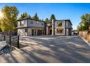
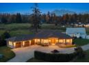
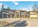
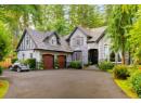
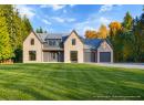
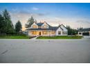
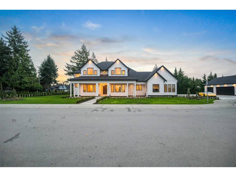
Exceptional 3.55 acres in desirable Salmon River! This brand new, Su Casa designed home offers 3,815 sq ft of luxurious living with 4 beds, 4 baths, and a thoughtful floor plan designed for main floor living. Featuring vaulted ceilings, a spacious great room, primary suite on the main, designer finishes, and high-end Italian appliances. The massive 61' x 35' detached shop boasts 16' ceilings and full rough-ins, ideal for car enthusiasts, hobbies, or storage. Plans for a legal second rancher are permit-ready, with septic already sized to accommodate it! Acreage is planted in hay with potential for farm status. Enjoy privacy, space, and versatility in one of South Langley's most sought-after neighbourhoods. A rare combination of luxury living, an incredible shop, and potential!
20% down at 4.44% fixed (Ratehub.ca), 25 years; tax from the listing.
Catchment schools, Langley School District 35
2.8 km away · 5370 248 St, Aldergrove · 604-856-3355
2.0 km away · 23752 52 Ave, Langley · 604-530-2151
From the Langley School District 35's published catchment maps. A catchment gives priority, not a guaranteed seat, and French immersion and choice programs work differently. The district confirms catchment: check with its school locator.
Keep private notes and ratings on homes you're considering. (email only) and they follow you to every device.
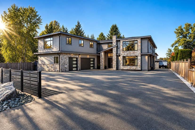
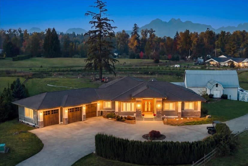
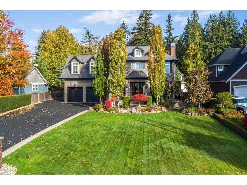
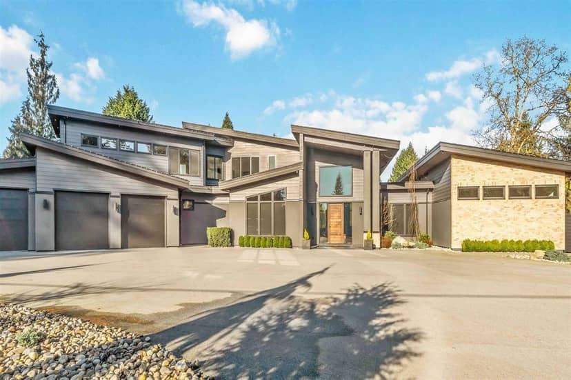
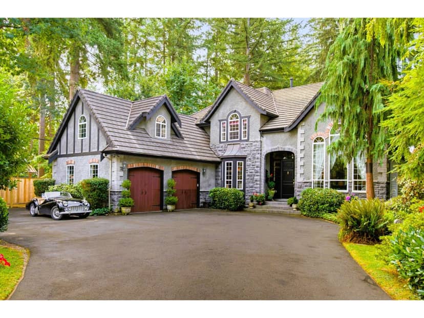
Houses in Langley. Sale prices register 1 to 3 months after a sale closes.
lot outline: 14,066 m² (151,405 sq ft) · PID 011-182-504. from ParcelMap BC; property lines are approximate, a survey is the legal boundary.
Walkability 9/100 · Car needed for most errands
Within a 10 minute walk: 1 place to eat or drink, 2 transit stops.
mihom score from OpenStreetMap places, by straight line distance.
This address is inside the Agricultural Land Reserve. ALR land is set aside for farming; building, subdividing and non-farm uses follow Agricultural Land Commission rules.
From public government maps, matched to the listing's map pin. Maps can be out of date or miss a lot line; confirm with the municipality.