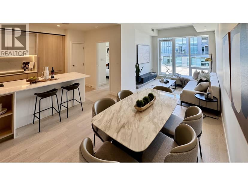
open houseCondo
$2,398,000
1206 6855 Pearson Way
Richmond250 days on market
listed by Macdonald Realty Westmar
MLS® R3091412

Richmond · MLS® R3178728
9,439 sq ft lot · Land · Vacant Land · listed today
listed by Nick Lee, Royal Regal Realty Ltd.
Investor Alert!!! DP-READY 6-unit townhouse development site at 6500 Cooney Rd! Save holding costs with DP in place in Richmond's prime core city centre. Walk to Richmond Centre, SkyTrain, top schools, and parks. Turnkey project with unbeatable investor demand. Don't miss out!
20% down at 4.34% fixed (Ratehub.ca), 25 years; tax from the listing.
Rapid transit: Richmond–Brighouse SkyTrain station, 400 m (about 6 min walk); Lansdowne SkyTrain station, 900 m (about 15 min walk).
Catchment schools, Richmond School District 38
300 m away · 8600 Cook Rd, Richmond · 604-668-6454
1.1 km away · 6611 No. 4 Rd, Richmond · 604-668-6212
From the Richmond School District 38's published catchment maps. A catchment gives priority, not a guaranteed seat, and French immersion and choice programs work differently. The district confirms catchment: check with its school locator.
Keep private notes and ratings on homes you're considering. (email only) and they follow you to every device.
Homes in Richmond. Sale prices register 1 to 3 months after a sale closes.


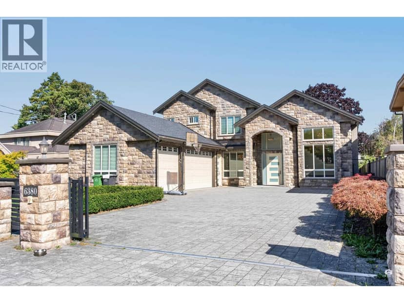

lot outline: 2,378 m² (25,597 sq ft) · PID 027-333-418. from ParcelMap BC; property lines are approximate, a survey is the legal boundary.
Rapid transit: Richmond–Brighouse SkyTrain station, 400 m (about 6 min walk); Lansdowne SkyTrain station, 900 m (about 15 min walk).
The BC Wildfire Service rates Vancouver's wildland urban interface as risk class 5 of 5 (lowest; 1 is the highest). One wildfire of 10 hectares or more burned within 5 km since 2006: 2018 (13 ha). Some insurers price for wildfire, and FireSmart BC has a free home assessment guide.
Source: BC Wildfire Service, WUI risk class and fire perimeters
From public government maps, matched to the listing's map pin. Maps can be out of date or miss a lot line; confirm with the municipality.
Walkability 98/100 · Very walkable: most errands on foot
Within a 10 minute walk: 6 grocery stores, 93 places to eat or drink, 40 cafes, 7 parks and playgrounds, 1 school, 7 pharmacies, 41 transit stops.
mihom score from OpenStreetMap places, by straight line distance.