
open houseHouse
$1,890,000
1 10111 Gower Street
Richmond3 days on market
listed by Youlive Realty
MLS® R3178239

Richmond · MLS® R3176322
567
3,938 sq ft · 9,092 sq ft lot · House · Single Family · built 2009 · 7 days on market
listed by Puneet Sud, Skystreet Real Estate Marketing
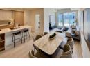
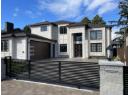
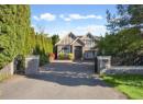
CUSTOM-BUILT ELEGANCE ON A GRAND SCALE! Nearly 4,000 square ft of living space on a 9,000+ square ft lot, featuring 5 ensuited bedrooms, 6 Full baths & a den. Soaring ceilings in the foyer, living & family rooms, marble flooring & detailed millwork create a grand impression. Main & wok kitchens, a media room, triple garage & gated entry complete the home. Located in desirable Quilchena, close to schools, Seafair shopping & Thompson Community Centre, with easy access to West Dyke trails, Terra Nova Rural Park & Steveston Village for waterfront strolls & dining. Court-ordered sale
20% down at 4.34% fixed (Ratehub.ca), 25 years; tax from the listing.
Catchment schools, Richmond School District 38
300 m away · 4440 Blundell Rd, Richmond · 604-668-6547
1.4 km away · 9200 No. 1 Rd, Richmond · 604-668-6615
From the Richmond School District 38's published catchment maps. A catchment gives priority, not a guaranteed seat, and French immersion and choice programs work differently. The district confirms catchment: check with its school locator.
Keep private notes and ratings on homes you're considering. (email only) and they follow you to every device.
| year | assessed | est. tax |
|---|---|---|
| 2026 | $2,842,000 | $10,056 |
The listing shows $9,757 a year in property tax.
Estimate: the BC Assessment value times Richmond's residential tax rate for that year (Province of BC, local government statistics). Leaves out the home owner grant, parcel taxes and utility charges; the city's tax notice is the real figure.
Houses in Richmond. Sale prices register 1 to 3 months after a sale closes.
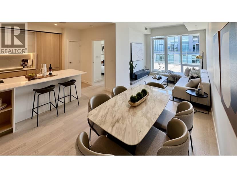



lot outline: 844 m² (9,085 sq ft) · PID 000-626-953. from ParcelMap BC; property lines are approximate, a survey is the legal boundary.
Walkability 60/100 · Walkable: many errands on foot
Within a 10 minute walk: 1 place to eat or drink, 7 parks and playgrounds, 1 school, 9 transit stops.
mihom score from OpenStreetMap places, by straight line distance.
The BC Wildfire Service rates Vancouver's wildland urban interface as risk class 5 of 5 (lowest; 1 is the highest). One wildfire of 10 hectares or more burned within 5 km since 2006: 2018 (13 ha). Some insurers price for wildfire, and FireSmart BC has a free home assessment guide.
Source: BC Wildfire Service, WUI risk class and fire perimeters
From public government maps, matched to the listing's map pin. Maps can be out of date or miss a lot line; confirm with the municipality.