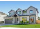
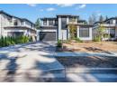
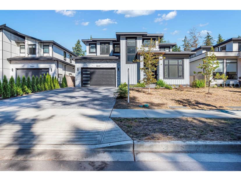
$2,149,000
20235 27 Avenue
Langleylisted today
listed by Planet Group Realty Inc.
MLS® R3178757
Langley · MLS® R3178818
436
2,724 sq ft · 1 acres lot · House · Single Family · built 1977 · listed today
listed by Carolyn Glazier, Angell, Hasman & Associates Realty Ltd.
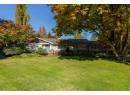
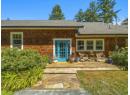
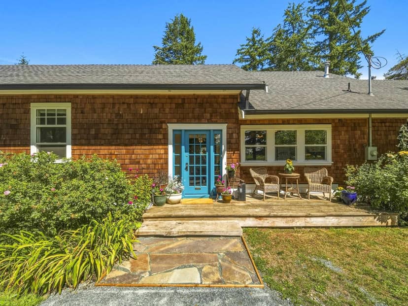
A once in a generation opportunity to own Langley's historic South Otter Schoolhouse. Nestled on a beautifully landscaped one-acre property within the ALR at the entrance to prestigious Otter Trail, this extraordinary residence has been masterfully restored by a renowned craftsman, blending timeless heritage with exceptional quality. Surrounded by rolling equestrian estates, the property features fragrant lavender gardens, a charming cutting garden, mature fruit trees, and picturesque outdoor spaces designed for gathering and quiet reflection. Rich in history and lovingly preserved, this is more than a home-it's a landmark where generations of memories have been made. A rare offering for those seeking character, craftsmanship, privacy, and an unparalleled country lifestyle.
20% down at 4.34% fixed (Ratehub.ca), 25 years; tax from the listing.
Catchment schools, Langley School District 35
3.8 km away · 23851 24 Ave, Langley · 604-534-5633
9.0 km away · 23752 52 Ave, Langley · 604-530-2151
From the Langley School District 35's published catchment maps. A catchment gives priority, not a guaranteed seat, and French immersion and choice programs work differently. The district confirms catchment: check with its school locator.
Keep private notes and ratings on homes you're considering. (email only) and they follow you to every device.
| year | assessed | est. tax |
|---|---|---|
| 2026 | $1,356,000 | $4,904 |
The listing shows $4,904 a year in property tax.
Estimate: the BC Assessment value times Langley's residential tax rate for that year (Province of BC, local government statistics). Leaves out the home owner grant, parcel taxes and utility charges; the city's tax notice is the real figure.
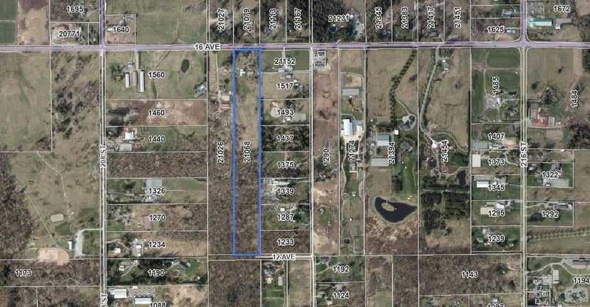
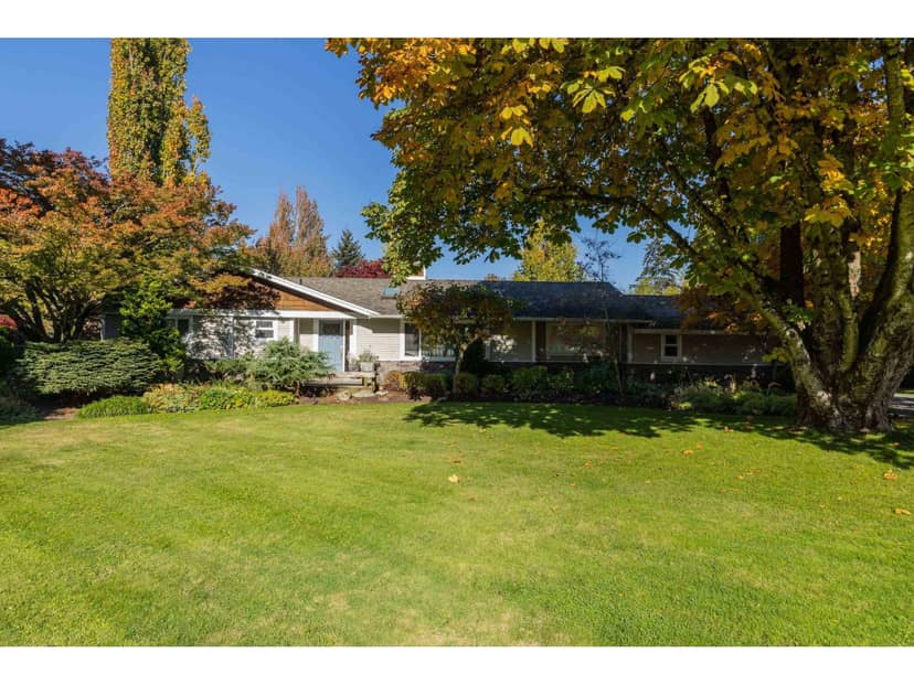
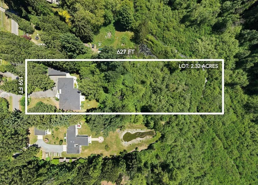
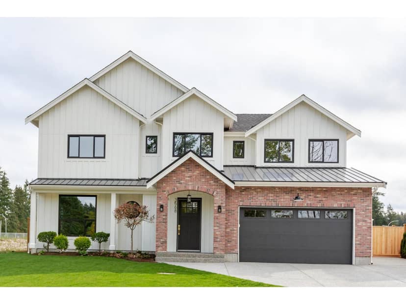
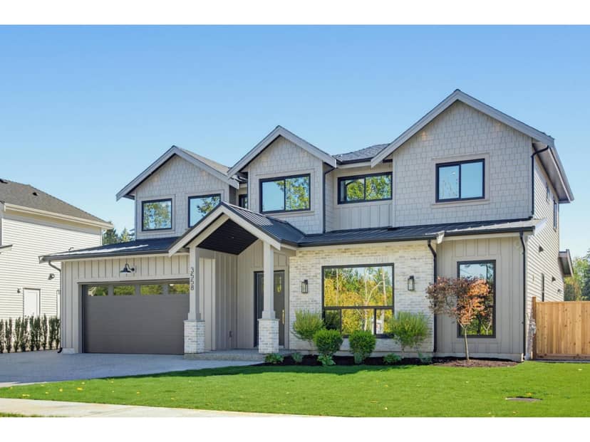
Houses in Langley. Sale prices register 1 to 3 months after a sale closes.
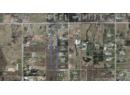
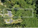
lot outline: 4,108 m² (44,218 sq ft) · PID 001-127-659. from ParcelMap BC; property lines are approximate, a survey is the legal boundary.
Walkability 0/100 · Car needed for most errands
Nothing everyday within a 10 minute walk.
mihom score from OpenStreetMap places, by straight line distance.
This address is inside the Agricultural Land Reserve. ALR land is set aside for farming; building, subdividing and non-farm uses follow Agricultural Land Commission rules.
From public government maps, matched to the listing's map pin. Maps can be out of date or miss a lot line; confirm with the municipality.