$350,000
2314 Hudson Terr
Broomhill, Sooke36 days on market
listed by Pemberton Holmes Ltd.
MLS® 1050336
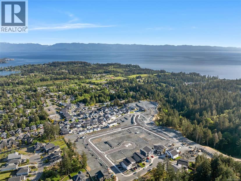
Broomhill, Sooke · MLS® 1024092
6,670 sq ft lot · Land · Vacant Land · 279 days on market
listed by Mike Hartshorne, Royal LePage Coast Capital - Westshore
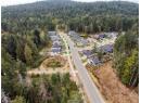
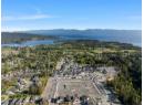
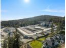
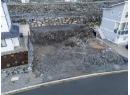
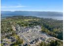
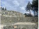
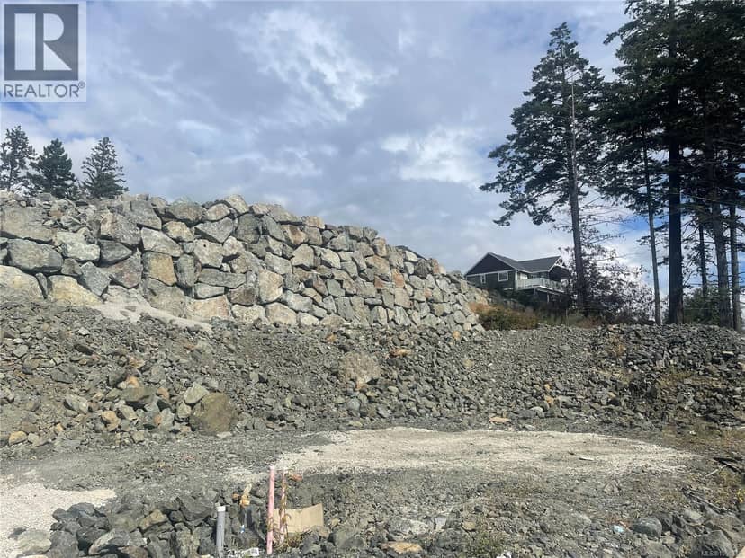
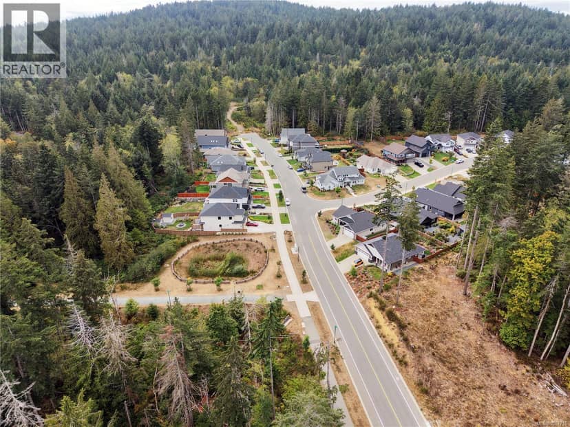
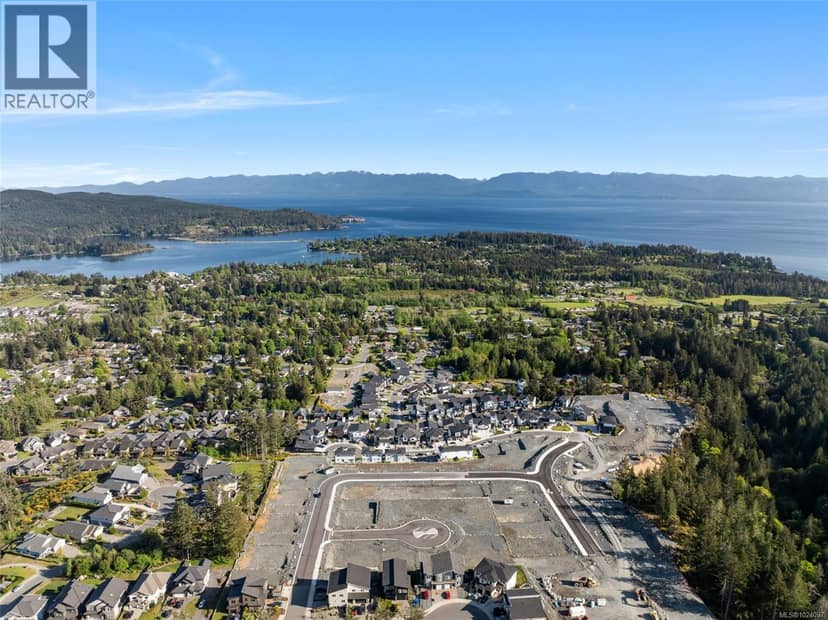
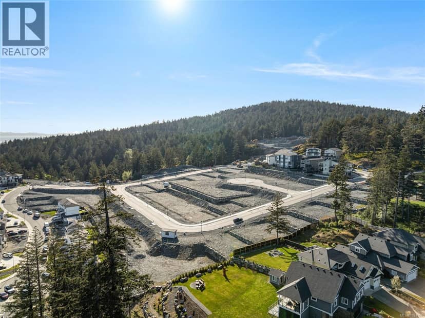
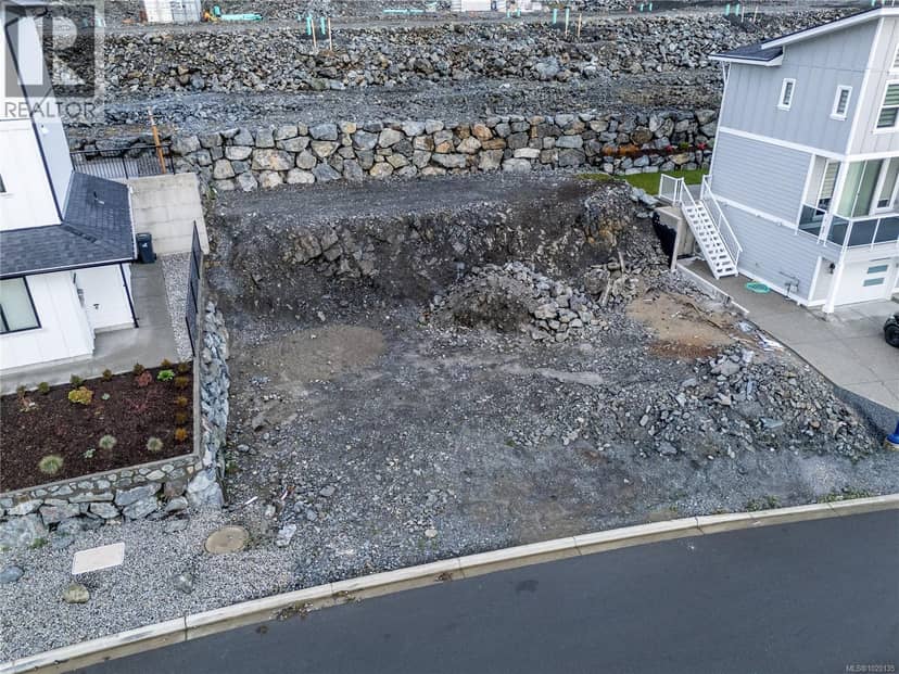
Legal Duplex Lot at Viewpointe, a 20-hectare residential development located in Sooke, the community where the rainforest meets the sea. The first phase is now registered and ready for immediate development. Lot 17 is a duplex style lot with perpendicular driveway access allowing for creative, private, and desirable construction. This first release of custom building lots features both single family and duplex lots, and you can choose from a step down daylight basement, flat, or step up raised back yard style lot. All lots are serviced to the lot line and ready for your design ideas, and many lots will access the panoramic ocean and mountain views. Easy access to many schools for all ages. The planned community has over 7 hectares of parkland, a playground area, and a trail network that will connect to Firwood Park. Just 25 minutes from downtown Langford, and mere minutes from your ocean and nature adventures, this is the perfect place to build your dream home and enjoy the Island.
20% down at 4.44% fixed (Ratehub.ca), 25 years.
Catchment schools, Sooke School District 62
1.1 km away · PO Box 790, Sooke · 250-642-5427
2.2 km away · PO Box 100, Sooke · 250-642-5881
3.7 km away · PO Box 1010, Sooke · 250-642-5211
From the Sooke School District 62's published catchment maps. A catchment gives priority, not a guaranteed seat, and French immersion and choice programs work differently. The district confirms catchment: check with its school locator.
Keep private notes and ratings on homes you're considering. (email only) and they follow you to every device.
Homes in Sooke. Sale prices register 1 to 3 months after a sale closes.
The BC Wildfire Service rates Langford's wildland urban interface as risk class 1 of 5 (the highest class). Some insurers price for wildfire, and FireSmart BC has a free home assessment guide.
Source: BC Wildfire Service, WUI risk class and fire perimeters
From public government maps, matched to the listing's map pin. Maps can be out of date or miss a lot line; confirm with the municipality.
lot outline: 4,894 m² (52,679 sq ft). from ParcelMap BC; property lines are approximate, a survey is the legal boundary.
Walkability 19/100 · Car needed for most errands
Within a 10 minute walk: 13 parks and playgrounds, 4 transit stops.
mihom score from OpenStreetMap places, by straight line distance.