$350,000
2314 Hudson Terr
Broomhill, Sooke36 days on market
listed by Pemberton Holmes Ltd.
MLS® 1050336
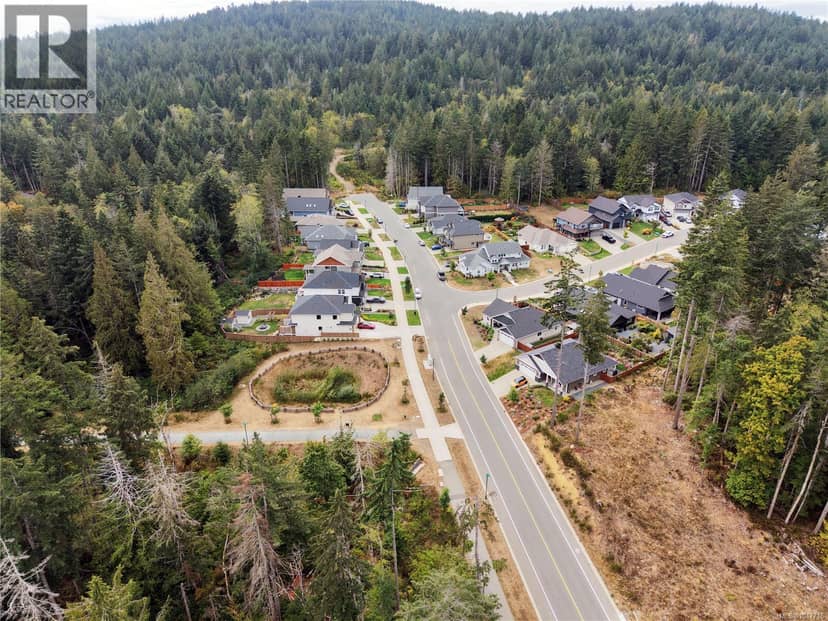
Broomhill, Sooke · MLS® 1047716
4
0.72 acres lot · Land · Vacant Land · 61 days on market
listed by Oliver Katz, RE/MAX Camosun
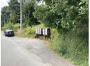
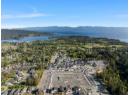
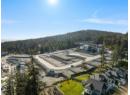
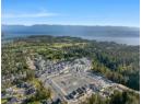
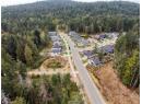
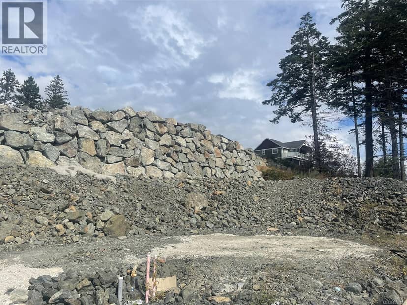
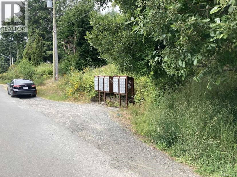
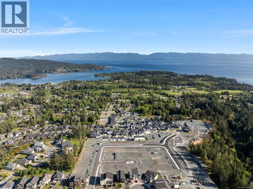
At the entrance to West Ridge Trails on an almost .75 acre property you'll find the large mostly level duplex zoned building lot, driveway in, with plenty of options for a home site it's a rare and remarkable opportunity for the savvy builder/investor. Peppered with conifers that provide a supernatural West Coast setting one can't help but be taken with the environment. Wide sidewalk out front and connected to the municipal trail system it's location is hard to beat just moments to the Sooke core and area amenities with schools and shops a short distance. Wide road frontage provides plenty options for building design. West Ridge Trails is Sooke's is a master planned community on the flanks of Broomhill with a significant portion designated Parkland with hiking outside your door in a rugged Vancouver Island environment. 6871 Ridgecrest Drive is proudly offered at $449,900
20% down at 4.44% fixed (Ratehub.ca), 25 years; tax from the listing.
Catchment schools, Sooke School District 62
| year | assessed | est. tax |
|---|---|---|
| 2026 | $507,000 | $2,685 |
The listing shows $2,685 a year in property tax.
Estimate: the BC Assessment value times Sooke's residential tax rate for that year (Province of BC, local government statistics). Leaves out the home owner grant, parcel taxes and utility charges; the city's tax notice is the real figure.
1.7 km away · PO Box 940, Sooke · 250-642-0500
1.9 km away · PO Box 100, Sooke · 250-642-5881
3.4 km away · PO Box 1010, Sooke · 250-642-5211
From the Sooke School District 62's published catchment maps. A catchment gives priority, not a guaranteed seat, and French immersion and choice programs work differently. The district confirms catchment: check with its school locator.
Keep private notes and ratings on homes you're considering. (email only) and they follow you to every device.
Homes in Sooke. Sale prices register 1 to 3 months after a sale closes.
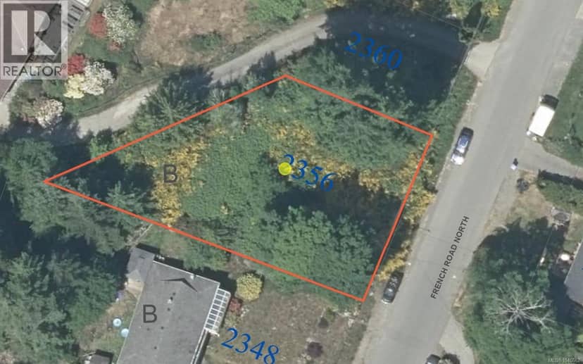
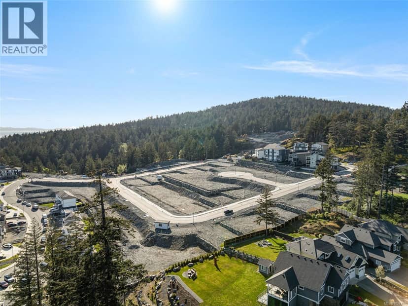
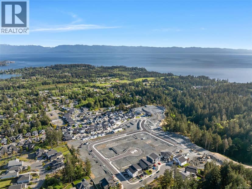
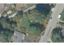
lot outline: 7,489 m² (80,611 sq ft). from ParcelMap BC; property lines are approximate, a survey is the legal boundary.
The BC Wildfire Service rates Langford's wildland urban interface as risk class 1 of 5 (the highest class). Some insurers price for wildfire, and FireSmart BC has a free home assessment guide.
Source: BC Wildfire Service, WUI risk class and fire perimeters
From public government maps, matched to the listing's map pin. Maps can be out of date or miss a lot line; confirm with the municipality.
Walkability 7/100 · Car needed for most errands
Within a 10 minute walk: 5 parks and playgrounds, 2 transit stops.
mihom score from OpenStreetMap places, by straight line distance.